Directions
Waubay NWR is located just west of Enemy Swim Lake or 1 mile east, 7 miles north and 1 Ñ miles west of the town of Waubay in the northeast corner of South Dakota. From I-29 take SD 12 west toward Aberdeen for 13 miles (one mile east of Waubay). Take Day Co. 1 (not well marked – watch for a brown highway information sign on HWY 12) north 7 miles and continue west on the gravel road into the Refuge – look for brown Refuge signs. The road leads 1 Ñ to the visitor center.
Phone
605-947-4521
Activities
AUTO TOURING, BOATING, HISTORIC & CULTURAL SITE, INTERPRETIVE PROGRAMS, FISHING, HIKING, HUNTING, VISITOR CENTER, WILDLIFE VIEWING
Camping Reservations
Reserve your campsite at these camping areas:
Hiking Trails
Looking for nice hiking areas to take a hike? Choose from these scenic hiking trails:
Related Link(s)
More South Dakota Recreation Areas
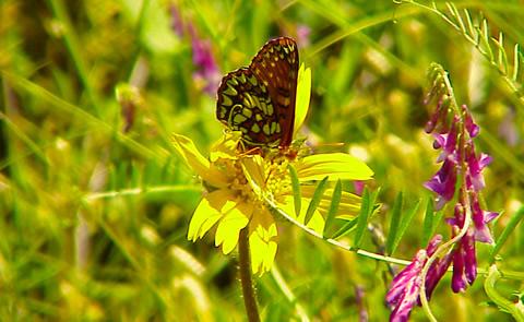
“Waubay,” means “a place where numbers of birds make their nests” in the Dakota language. The Refuge encompasses 4,650 acres of wetlands, native tallgrass prairie, and bur oak forest that provide a wide variety of nesting habitat for more than 100 species of waterfowl, song birds, and upland game birds as well as 140 additional bird species during migrations. Mammals include species from the ever present white-tailed deer to the more elusive coyote and the diminutive pygmy shrew. The central location of Waubay National Wildlife Refuge (NWR) in North America gives visitors the chance to see a mix of eastern, western, northern, and southern species.

