Directions
From Sheridan Ave in Cody, Wyoming, head south on the South Fork Highway (County Road 6WX). The entire length of the road will take you to the public parcels, and will end at Cabin Creek, located within the Shoshone National Forest.
Phone
(307) 578-5900
Activities
FISHING, HIKING, HORSEBACK RIDING, HUNTING, PICNICKING, WILDLIFE VIEWING, PHOTOGRAPHY
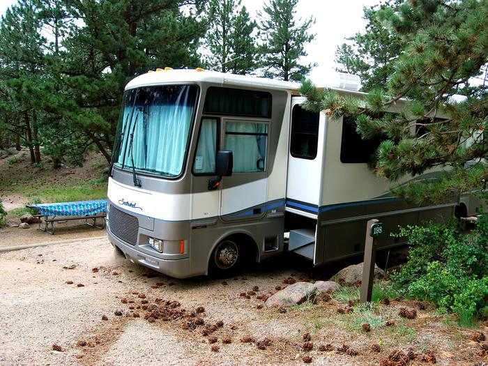
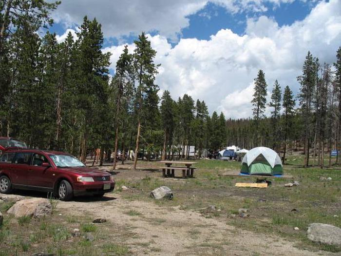
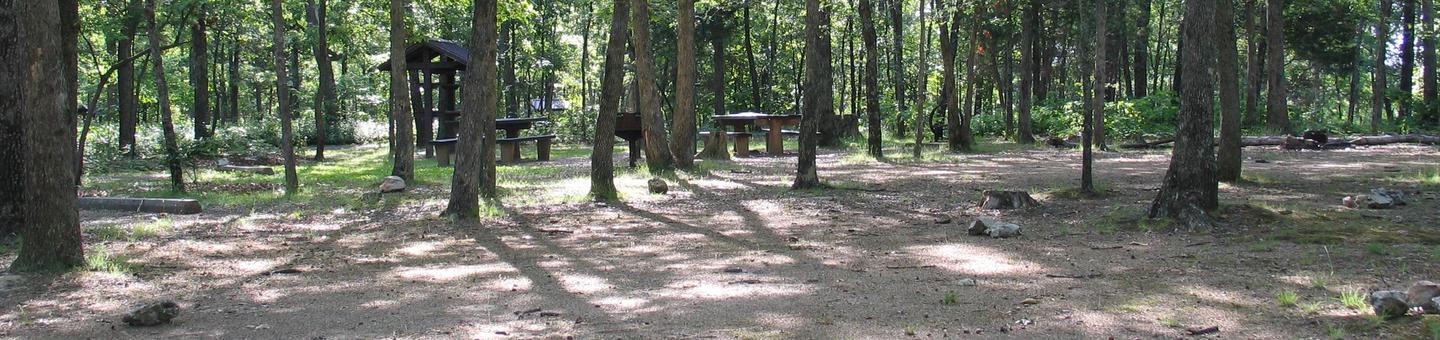
Camping Reservations
Reserve your campsite at these camping areas:
Hiking Trails
Looking for nice hiking areas to take a hike? Choose from these scenic hiking trails:
Related Link(s)
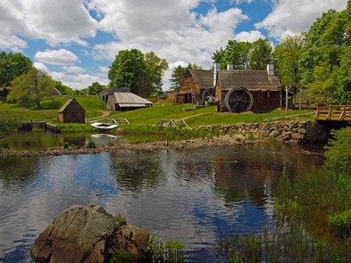
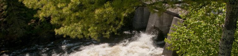
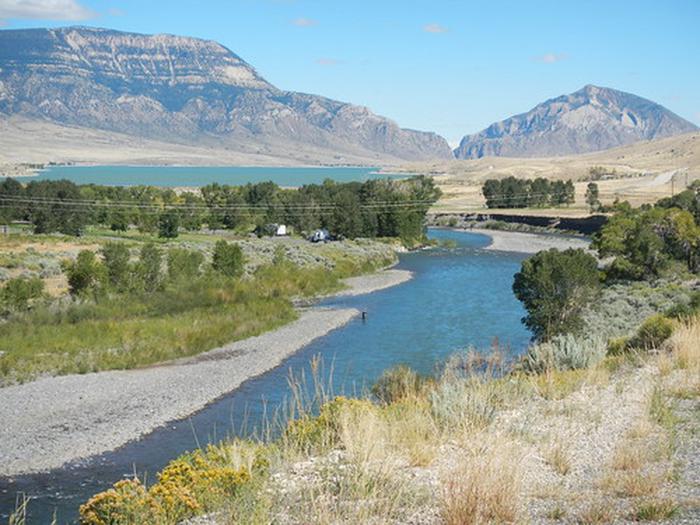
The South Fork Shoshone River begins its journey from the Fremont County/Park County boundary high in the Absaroka Mountains draining north into Buffalo Bill Reservoir.
The BLM administers a handful of parcels along the South Fork, all of which offers fishing opportunities, and other dispersed recreational opportunities.