Directions
From Canon City take West about 25 miles. Turn right (North) onto Fremont County Road 27 (Look for the Texas Creek Store). Proceed over bridge and continue about a ½ mile and follow sign for OHV parking. From Salida Head east out of town on E Rainbow Blvd/US-50 E. Continue approximately 31.1 miles to Fremont County Road 27. Turn north on Fremont County Road 27 to access trails.
Phone
719-269-8500
Activities
CAMPING, HUNTING, OFF HIGHWAY VEHICLE
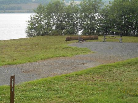
Camping Reservations
Reserve your campsite at these camping areas:
Hiking Trails
Looking for nice hiking areas to take a hike? Choose from these scenic hiking trails:
Related Link(s)
More Colorado Recreation Areas
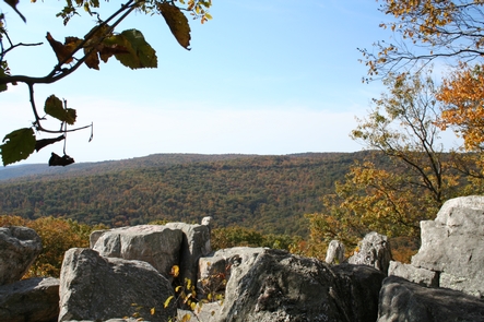
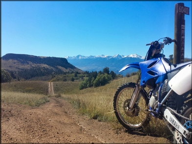
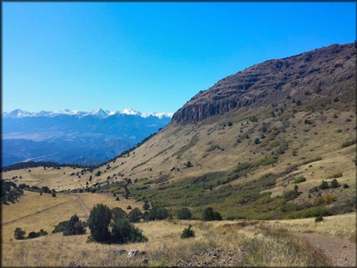
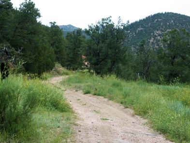
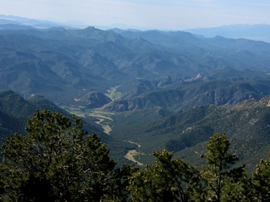
The Texas Creek Recreation area is located west of Canon City and is a popular high-use area for motorized recreation users. The area is often rideable year round because it doesn’t get much snow, and the snow it does get usually melts quickly. There are some mines and prospects to look at, and views from the higher hills reveal scenic views of the Sangre de Cristo Range. This area has around 45 miles of marked trails the range from easy 4×4 road to narrow and rocky ATV trails with sharp switchbacks. At lower elevations the trails wind through a mix of various scrub, juniper and pinon pine trees. As you continue to climb in elevation, the vegetation changes to mostly spruce, aspen, and Douglas- fir trees. Mule deer, bighorn sheep and elk can sometimes be seen in this area. For more information, please contact the Royal Gorge Field Office.