Directions
The South Fork American River can be accessed at many points from Highway 49. Please see our South Fork American River General Map.
Phone
916-941-3101
Activities
BIKING, HISTORIC & CULTURAL SITE, INTERPRETIVE PROGRAMS, FISHING, HIKING, HORSEBACK RIDING, PICNICKING, WILDLIFE VIEWING, ENVIRONMENTAL EDUCATION, PHOTOGRAPHY, PADDLING, SWIMMING
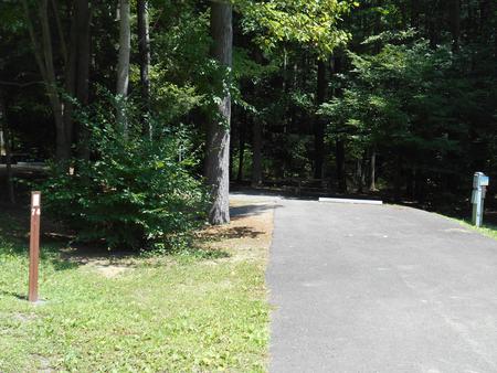
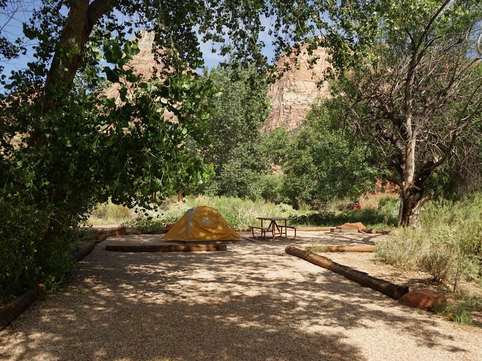
Camping Reservations
Reserve your campsite at these camping areas:
Hiking Trails
Looking for nice hiking areas to take a hike? Choose from these scenic hiking trails:
Related Link(s)
More California Recreation Areas
South Fork American River Flickr Album
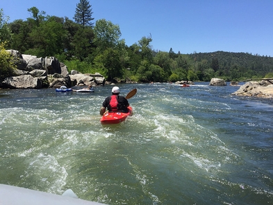
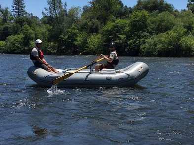
The South Fork of the American River is considered to be one of the finest recreational resources in California. The river™s rapids are relatively gentle and the countryside is rich in history. Opportunities for a wide variety of outdoor activities include whitewater rafting & kayaking, picnicking, trail hiking, horseback riding, hunting, fishing, gold panning, bicycling, and camping. All of them unique ways to experience the habitat and beauty of the South Fork of the American River.
Need a Map?
South Fork American River General Map
RECREATION SITES:
Cronan Ranch Trailhead
Dave Moore Nature Area
Greenwood Creek River Access
Magnolia Ranch Trailhead
Old Flume Trail Trailhead
The South Fork American is one of the most popular (and most populated) whitewater river runs for rafting and kayaking in the state. The river offers short shuttles between access points, several trip options, high spring flows, and dependable boating flows during the summer months when other rivers have dropped too low. This twenty-one (21) mile river run can be made in a full day or a more relaxing two day trip for both beginning and intermediate boaters.
Put-In: Chili Bar, Henningsen-Lotus Park, Highway 49 Bridge West, Marshall Gold Discovery State Historical Park, Camp Lotus, Greenwood Creek.
Take-Out: Henningsen-Lotus Park, Greenwood Creek, Salmon Falls Bridge.
Please note: If you are not an experienced rafter, we suggest you make your trip with one of the BLM-permitted commercial companies who operate on the river. All permitted operators must meet strict standards for safety and quality of service.
The South Fork American also has a special significance because of the river™s role in the Great California Gold Rush of 1849. In the town of Coloma and along the river is the site of James Marshall’s discovery of gold at Sutter’s Mill on January 24, 1848.
Be sure to come to shore long enough to visit and enjoy the Marshall Gold Discovery State Historic Park.
And for more information, please also check out the Gold Discovery Park Association website.
Helpful Links:
Be Bear Aware (USFS webpage)
Keep Me Wild: Mountain Lion (CDFW webpage)
Dreamflows Home Page (River flow info courtesy of Chris Shackleton, Sacramento, CA)
Return To: BLM, Mother Lode Field Office