
Directions
From Maupin, OR: Head southwest on US-197 N/Deschutes Ave toward 6th St continuing to follow US-197 N for 2.7 miles. Turn left onto OR-216 W for 4.8 miles, then take a slight right onto Kelly Cutoff for another 1.1 miles. Turn left onto Old Wapinitia Rd for 0.3 miles, then turn right onto Claymier Ln; proceed for another 1.9 miles. Continue onto Victor Road for 1.8 miles, then turn right onto White River Crossing Rd. River access and a primitive campsite will be on the right after 1.8 miles.
Phone
541-416-6700
Activities
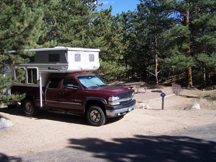
CAMPING, FISHING, HIKING, WILDERNESS
Camping Reservations
Reserve your campsite at these camping areas:
Hiking Trails
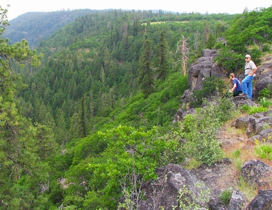
Looking for nice hiking areas to take a hike? Choose from these scenic hiking trails:
Related Link(s)
White Wild and Scenic River at rivers.gov
Overview:
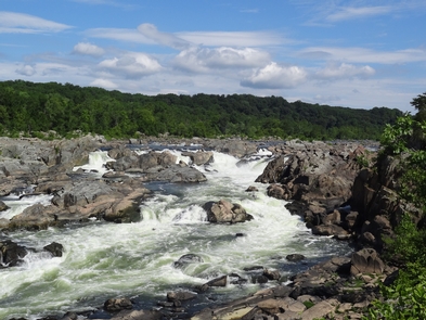
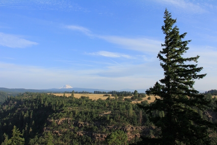
Originating on the eastern slopes of Oregon™s Mt. Hood at the White River glacier, the White Wild and Scenic River flows some 47 miles through two wilderness areas before converging with the Deschutes Wild and Scenic River five miles north of river-centric Maupin, Oregon.
Know Before You Go:
- Developed access to the river is largely limited to the White River Crossing Road and the diminutive White River Campground at the confluence of the White and Deschutes rivers.
- Campfires are prohibited annually within Ð… mile of the White River™s edge from its confluence with the Deschutes River upstream to the eastern boundary of the Mt. Hood National Forest.
- For another view of the river, visit White River Falls State Park
- When recreating on public lands, practice Leave-No-Trace principles
Point of Interest:
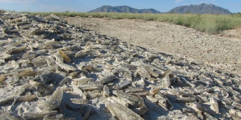
During late summer and Fall, glacier-ground rock called glacial flour colors the river a murky white giving this river its name. The suspended sediment can skunk fly-fishers downriver from its confluence with the Deschutes River.