Directions
Take the Southern Parkway (Highway 9) to Warner Valley Exit 10. Take two rights onto the frontage road and drive south for 4.2 miles. Turn right following the road 0.1 miles around the ranch. At the stateline, turn right onto BLM 1124 and follow 2.3 miles to the site.
Phone
(435) 688-3200
Activities
HISTORIC & CULTURAL SITE, INTERPRETIVE PROGRAMS
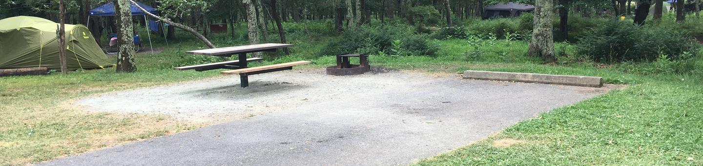
Camping Reservations
Reserve your campsite at these camping areas:
Hiking Trails
Looking for nice hiking areas to take a hike? Choose from these scenic hiking trails:
Related Link(s)
******* The state has leased land for a gravel pit within the main access road to Little Black Mountain Petroglyph Site. For visitors’ safety, the route coming in from the Glitter Mine side is recommended. See directions at left for more information. Be warned the Glitter Mine’s direction doesn’t hold up as well in rains and is completely impassible during heavy rain. *******
The site contains some outstanding rock art, representing 6,000 years of human habitation and use. The site has over 500 individual rock-art designs and elements on the cliffs and boulders surrounding the base of a 500-foot mesa. The different designs are associated with the cultures of the Great Basin, Western Anasazi and Lower Colorado River, only a few of the many cultures that have passed this way. Some of the representations of turtles, lizards and bear paws may be symbols with social or religious meanings that are now lost to us.