Directions
Four miles west of the Town of Carrizozo on US 380.
Phone
575-648-2241, 575-840-6243
Activities
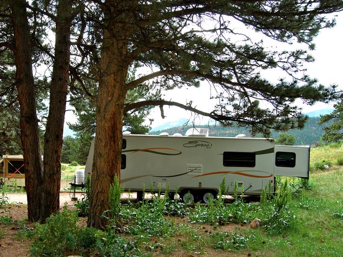
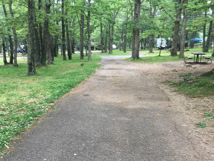
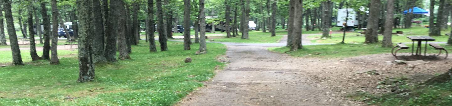
CAMPING, INTERPRETIVE PROGRAMS, HIKING, PICNICKING, RECREATIONAL VEHICLES, VISITOR CENTER, WILDLIFE VIEWING
Camping Reservations
Reserve your campsite at these camping areas:
Hiking Trails
Looking for nice hiking areas to take a hike? Choose from these scenic hiking trails:
Related Link(s)
More New Mexico Recreation Areas
Valley of Fires Recreation Area
BLM New Mexico YouTube Channel
BLM New Mexico YouTube Channel
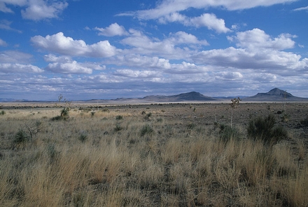
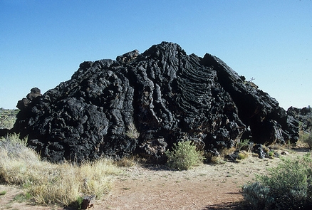
Valley of Fires recreation area is located immediately adjacent to the Malpais Lava Flow. Approximately 5,000 years ago, Little Black Peak erupted and flowed 44 miles into the Tularosa Basin, filling the basin with molten rock. The resulting lava flow is four to six miles wide, 160 feet thick and covers 125 square miles. The lava flow is considered to be one of the youngest lava flows in the continental United States.
From a distance, Valley of Fires appears as barren rock but when you walk through the nature trail there are many varieties of flowers, cactus, trees and bushes typical of the Chihuahuan desert. Animals include bats, roadrunners, quail, cottontails, mule deer, barberry sheep, and lizards. It’s also a virtual birdwatcher’s paradise with great horned owls, burrowing owls, turkey vultures, hawks, gnat catchers, cactus wrens, sparrows and golden eagles.