Directions
Mokaac Trail is reached by traveling south from St. George, Utah, on River Road. At the Utah and Arizona stateline, the road becomes Quail Hill Road (BLM Road #1069). Follow for about 12 miles. The trail has three trailheads. The location given is for the most southern trailhead.
Phone
(435) 688-3200
Activities
HIKING, HORSEBACK RIDING
Camping Reservations
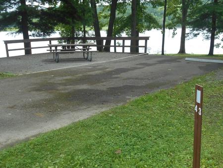
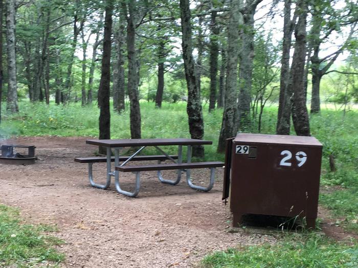
Reserve your campsite at these camping areas:
Hiking Trails
Looking for nice hiking areas to take a hike? Choose from these scenic hiking trails:
Related Link(s)
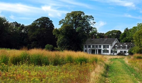
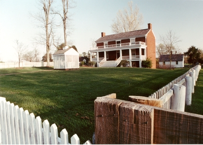
Scenic views, chance wildlife sightings and a sense of history await you on the Mokaac Trail. Mokaac Trail was once part of a main road onto the western Arizona Strip beginning in the early 1900’s. The trail is no longer a part of the active road system but remains a symbol of earlier times and modes of transportation.