Directions
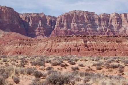
Interstate 15, and Highway 9 – On the western end of the highways corridor is Interstate 15, and Highway 9. These segments breach what was once a formidable barrier to transportation created by the Beaver Dam and Virgin Mountains. These segments also graphically show the abrupt change from the more somber Basin and Range Physiographic Province in the west to the colorful, layer-cake geology of the Colorado Plateau Province to the east. The power of moving, folding land masses is evident everywhere, especially in the Virgin River Gorge where the Grand Wash Fault line plays a prominent role in the lay of the land.
Phone
(435) 688-3200
Activities
AUTO TOURING, HISTORIC & CULTURAL SITE, CAMPING, RECREATIONAL VEHICLES, VISITOR CENTER
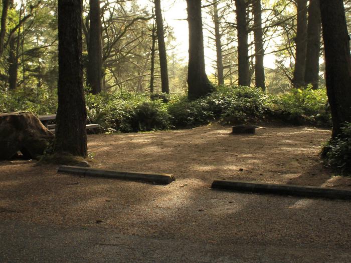
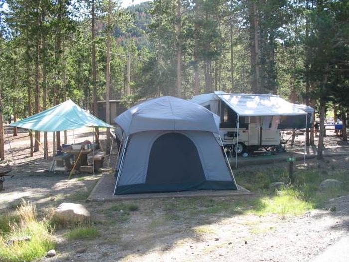
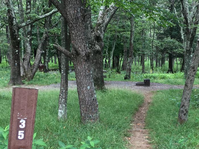
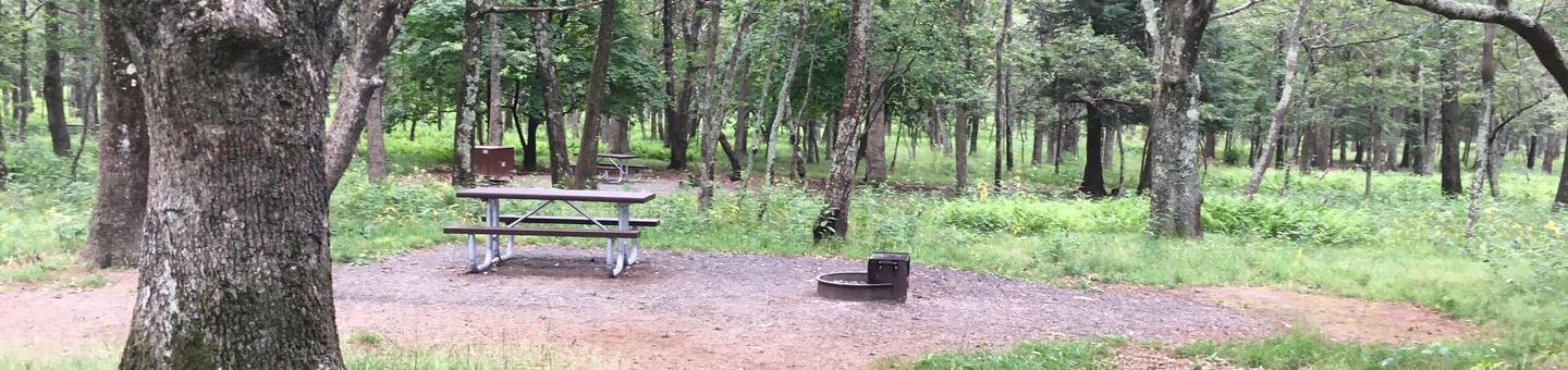
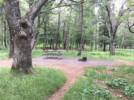
Camping Reservations
Reserve your campsite at these camping areas:
Hiking Trails
Looking for nice hiking areas to take a hike? Choose from these scenic hiking trails:
Related Link(s)
Embarking from the spectacular Virgin River Gorge, south of St. George, Utah, you can follow 277 miles of paved highways winding through small rural communities to the Navajo Indian Reservation on the east. Scenic overlooks and historic and prehistoric sites along the highways convey various aspects of exploration and survival in this remote region.The Vermilion Cliffs Highways traverse some of the most vast and picturesque landscapes in the West. In many cases, the highways follow historic transportation routes used for centuries by different cultures from American Indian tribes, Spanish explorers and pioneers to modern travelers.