Directions
About 30 miles northeast of Santa Fe. From Santa Fe: take US 84/285 N to NM 503 in Pojoaque. Turn right onto NM 503 and continue on this scenic ‘High Road’ towards Chimayo. Pass CR 98 which turns left to Chimayo and continue on NM 503; first you will see the Overlook Campground turnoff on the left, then continue towards and past Cundiyo to Santa Cruz Lake Rd (CR 98A) which is approximately 5.5 miles past the Overlook Campground turnoff. Note: There is no Recreation Area entrance sign at Santa Cruz Lake Rd off NM 503 from the South.
From the North: Take NM 503 South from NM 76 (east of Espanola) to Santa Cruz Lake Rd; turn right.
Please NO RV’s or vehicles with trailers longer than 30′ on Santa Cruz Lake Rd; tight turns on entrance road and in parking areas.
Santa Cruz Lake Rd (98A) dead ends at the boat ramp & fishing pier areas; No through road.
Phone
(575) 758-8851
Activities
BOATING, HISTORIC & CULTURAL SITE, CAMPING, FISHING, HIKING, PICNICKING, VISITOR CENTER, WATER SPORTS
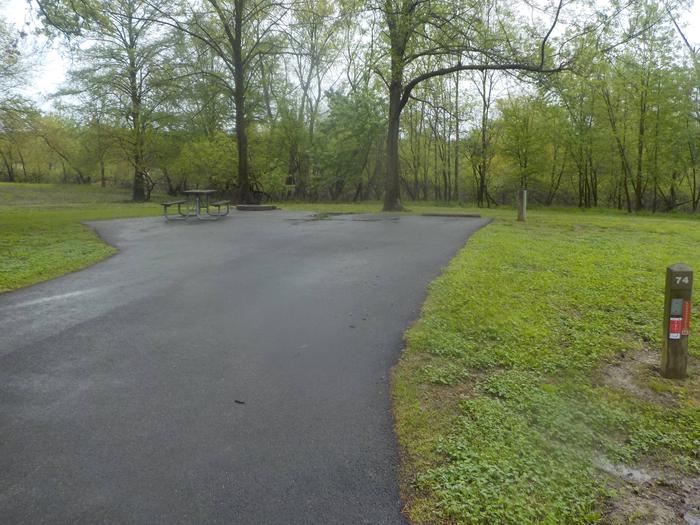
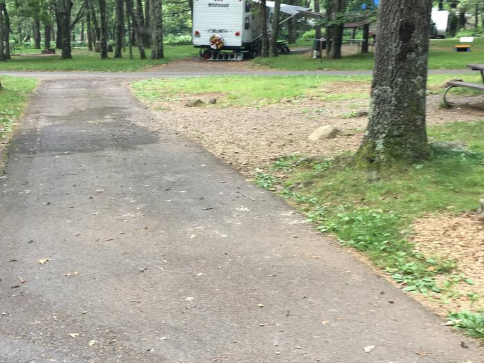
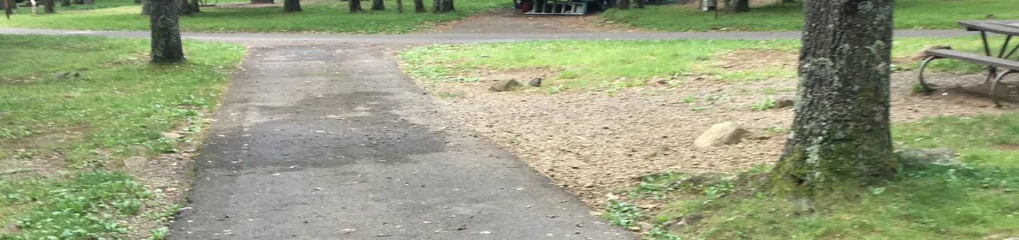
Camping Reservations
Reserve your campsite at these camping areas:
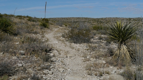
Hiking Trails
Looking for nice hiking areas to take a hike? Choose from these scenic hiking trails:
Related Link(s)
More New Mexico Recreation Areas
Santa Cruz Lake Recreation Area
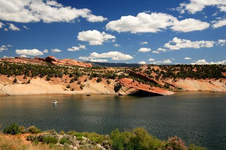
Thirty miles north of Santa Fe, NM , the snow-fed waters of the Rio del Medio and the Rio Frijoles begin a 2,000-mile journey and a 7,000-foot descent to the Gulf of Mexico. For a time they gather at Santa Cruz Lake at the base of the Sangre de Cristo Mountains near Chimayo, behind the 125-foot Santa Cruz Dam.
Built in 1929 by the Santa Cruz Irrigation District, the dam is 535 feet across and 90 feet deep at the overflowing spillway. The lake covers 121 surface acres with water in the foothills of the Sangre de Cristo Mountains, providing recreational opportunities for anglers, picnickers, campers, and boat lovers alike. The scenic lake at base of Sangre de Cristo mountains offers boating, fishing, hiking and camping.