Directions
About 40 miles west of Redding, California on State Highway 299. Access road, Trinity Dam Blvd.
Phone
916-623-2121
Activities
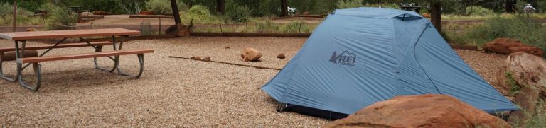
AUTO TOURING, BIKING, BOATING, CAMPING, INTERPRETIVE PROGRAMS, FISHING, HIKING, HUNTING, PICNICKING, RECREATIONAL VEHICLES, WATER SPORTS, WILDLIFE VIEWING, ENVIRONMENTAL EDUCATION
Camping Reservations
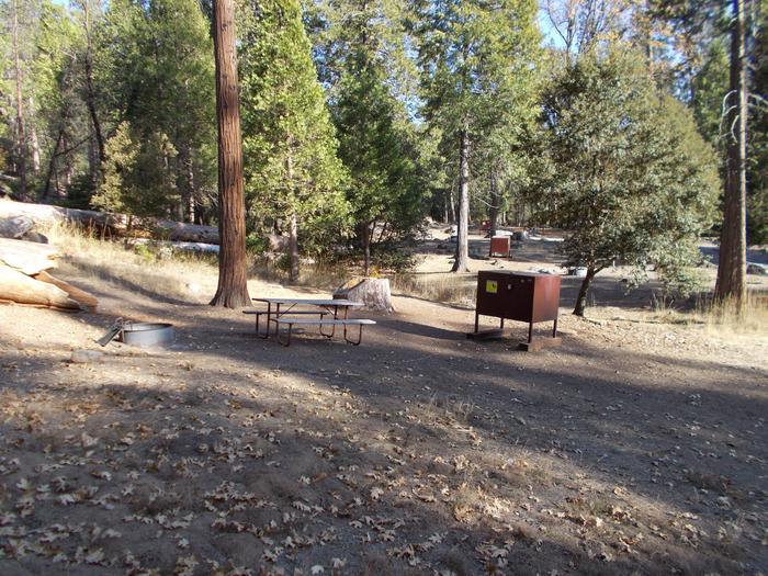
Reserve your campsite at these camping areas:
Hiking Trails
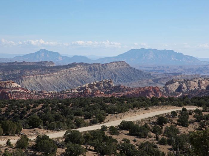
Looking for nice hiking areas to take a hike? Choose from these scenic hiking trails:
Related Link(s)
More California Recreation Areas
Lewiston National Recreation Area
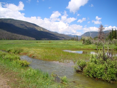
Lewiston Dam, Central Valley Project – Shasta/Trinity Division, is about 7 miles downstream from Trinity Dam. It diverts water by means of Clear Creek Tunnel to Whiskeytown Lake. The dam is 91 feet high and 745 feet long. The Trinity River Fish Hatchery, operated by the California Department of Fish and Game, has a capacity of about 40 million eggs. It is immediately downstream from Lewiston Dam and compensates for the upstream spawning area that has been rendered inaccessible and unusable by the dams. Lewiston Lake is more like a large, cold, slow-moving river with a large population of trout. Rainbow trout range from 8 to 18 inches, 12- to 14-inch average. The German brown average over 20 inches. Effective flies either cast from a drift boat or trolled slowly. Productive slow trolling. Shore fishing produces both varieties of trout.