Directions
From Yuba City, travel south on Highway 99E approximately 6 miles to Oswald Road. Turn west and proceed 5.5 miles to Schlag Road. Travel north on Schlag Road for about 1/8 of a mile, turn west onto Hughes Road, which bisects the refuge.
Phone
530-934-2801
Activities
HUNTING
Camping Reservations
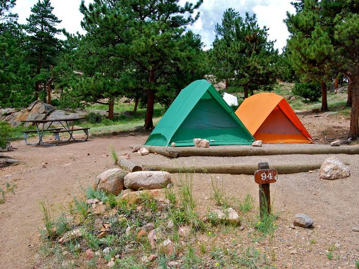
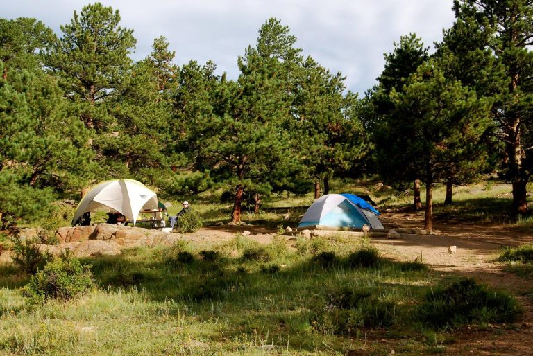
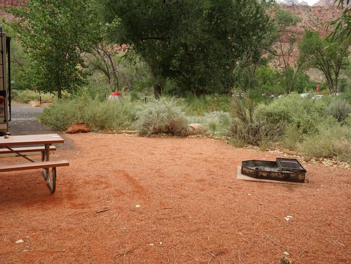
Reserve your campsite at these camping areas:
Hiking Trails
Looking for nice hiking areas to take a hike? Choose from these scenic hiking trails:
Related Link(s)
More California Recreation Areas
Sutter National Wildlife Refuge, the southern-most refuge in the Sacramento Refuge Complex, is located in the Sacramento Valley of California, about 50 miles north of the metropolitan area of Sacramento. The refuge consists of about 2,600 acres, consisting primarily of wetland impoundments with some riparian and grassland habitat. About 80 percent of the refuge is located in the Sutter Bypass, a floodwater bypass from the Sacramento River that floods at least once a year and may cover portions of the refuge with up to 12 feet of water. Sutter Refuge typically supports wintering populations of more than 175,000 ducks and 50,000 geese. The mixed riparian forest habitat on the refuge is important for breeding and migrating passerine birds, and supports a large heron/egret rookery. The refuge provides habitat for several Federal and State endangered and threatened species, including giant garter snake, winter-run Chinook salmon, yellow-billed cuckoo, and Swainson’s hawk.

