
Directions
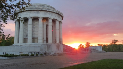
The George Rogers Clark National Historical Park is located within the city of Vincennes, Indiana. Evansville is approximately 50 miles to the south and Terre Haute is approximately 50 miles to the north. Highway 41 provides good roads from the north or south. Highway 50 provides access from the east and west. From Hwy 50 east and west or from Hwy 41 from the north use the 6th Street exit. On Hwy 41 from the South use the Willow Street exit. From there follow the blue directional signs for the park.
Phone
(812) 882-1776
Activities
HISTORIC & CULTURAL SITE, PICNICKING
Camping Reservations
Reserve your campsite at these camping areas:
Hiking Trails
Looking for nice hiking areas to take a hike? Choose from these scenic hiking trails:
Related Link(s)
George Rogers Clark National Historical Park Official Website
George Rogers Clark National Historical Park Map
The British flag would not be raised above Fort Sackville Feb. 25, 1779. At 10 a.m., the garrison surrendered to American Colonel George Rogers Clark. His American army, aided by French residents of the Illinois country, had marched through freezing floodwaters to gain this victory. The fort™s capture assured United States claims to the frontier, an area nearly as large as the original 13 states.