Directions
You can drive to Yosemite all year and enter via Highways 41, 140, and 120 from the west. Tioga Pass Entrance (via Highway 120 from the east) is closed from around November through late May or June. Hetch Hetchy is open all year but may close intermittently due to snow. Please note that GPS units do not always provide accurate directions to or within Yosemite.
Phone
(209) 372-0200
Activities
AUTO TOURING, BIKING, BOATING, CLIMBING, HISTORIC & CULTURAL SITE, CAMPING, FISHING, HIKING, HORSEBACK RIDING, WILDLIFE VIEWING, SNOWPARK, PADDLING, SWIMMING
Camping Reservations
Reserve your campsite at these camping areas:
BRIDALVEIL CREEK GROUP AND HORSE CAMP
Hiking Trails
Looking for nice hiking areas to take a hike? Choose from these scenic hiking trails:
Related Link(s)
More California Recreation Areas
Yosemite National Park Official Website
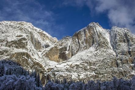
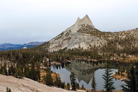
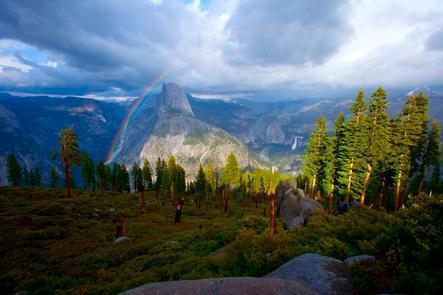
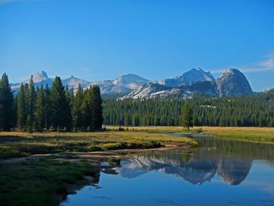
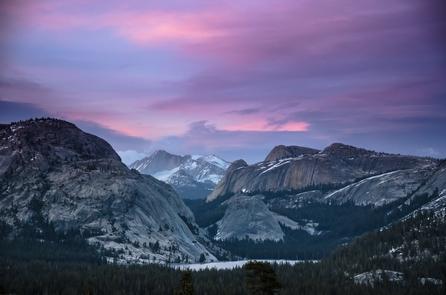
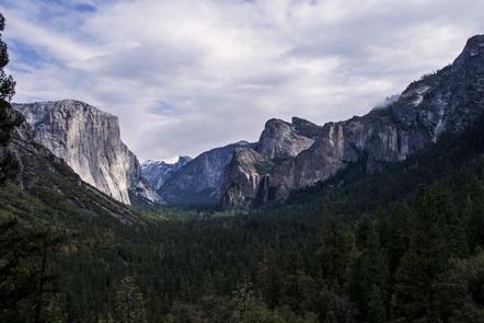
Not just a great valley, but a shrine to human foresight, the strength of granite, the power of glaciers, the persistence of life, and the tranquility of the High Sierra. First protected in 1864, Yosemite National Park is best known for its waterfalls, but within its nearly 1,200 square miles, you can find deep valleys, grand meadows, ancient giant sequoias, a vast wilderness area, and much more.

