Directions
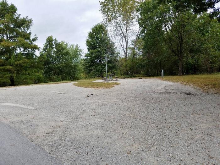
The West Trailhead near Bear Springs is about 12 miles northeast of Safford via the Solomon Pass and Salt Trap Roads. To reach the trailhead, take 8th Avenue north out of Safford. A half mile after crossing the Gila River bridge, take the right fork onto Airport Road. Drive 4.3 miles to Aviation Way. Turn left onto Aviation Way, then another immediate left onto the paved unsigned road. This is the Solomon Pass Road, follow it 8.0 miles to the Solomon Pass – Salt Trap Road Junction. Take the left fork onto Salt Trap Road and follow 1.8 miles. Turn left and continue about 4 miles west to the West Trailhead. If you reach Salt Trap tank with corrals, you’ve missed the turn. A 4WD high-clearance vehicle is needed for sections of the last 4 miles.
To reach the East Trailhead (6 air miles west of Morenci), take the Lower Eagle Creek/Black River Road off of Highway 191, just north of Morenci. The turnoff is about a quarter mile past a historic hillside cemetery on your right. Take the left into what appears to be a dirt parking area; the road begins there. The Eagle Creek road begins there. You will need to ford Eagle Creek just below the water pipeline at the ranch house, continue on for about another 4 miles. The trailhead is signed. Although the Lower Eagle Creek/Black River Road is maintained gravel, the river crossing may require a high-clearance vehicle during high water events.
Phone
(928) 348-4400
Activities
HIKING, WILDLIFE VIEWING
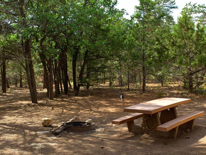
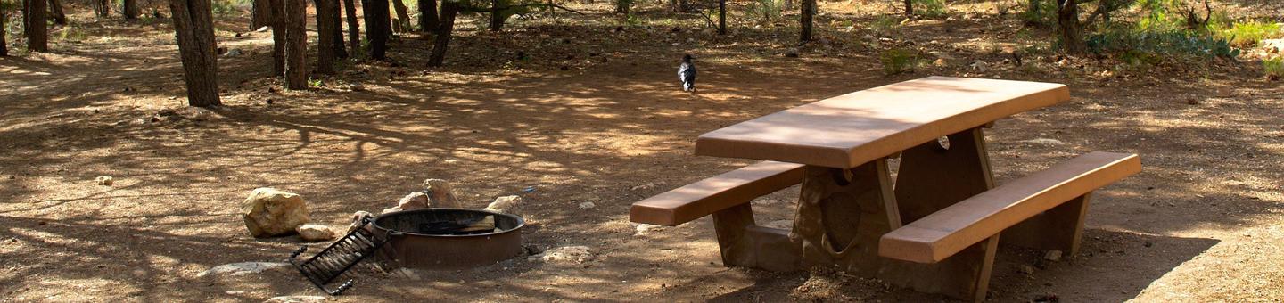
Camping Reservations
Reserve your campsite at these camping areas:
Hiking Trails
Looking for nice hiking areas to take a hike? Choose from these scenic hiking trails:
Related Link(s)
The trail is 18 miles long one way, with an elevation range of 3,700 to 6,200 feet. It winds through the rugged canyons of the Gila Mountains and Turtle Mountain.
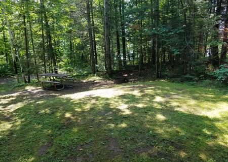
With the exception of Bonita Creek, streams and springs are scarce along the route. Follow bear and mountain lion country precautions as these creatures are becoming more common along Bonita Creek. The creek’s clear, cool water is inviting for a soak, but must be treated before drinking due to human, cattle, and wildlife activity upstream. Carry plenty of drinking water with you. Few people travel this remote route and it remains difficult to follow because it crosses land of mixed ownership. You will need topo maps and a compass to hike this moderate to difficult trail. The best time to hike is fall through the spring months because there is little water and shade. Snow is possible in the high elevations during the winter months.
Permits/Fees: A recreation permit is needed for crossing Arizona state trust land one mile southwest of the East Trailhead. Permits are available by mail or in person at the Arizona State Land Office in Phoenix, Tucson, and Flagstaff, and from the Arizona Public Lands Information Center in Phoenix.
A San Carlos Apache Tribal recreation permit should be obtained if you wish to cross the short section of the trail that passes through the reservation in T. 4 S., R. 28 E. Permits are available from the Tribal Recreation and Wildlife Department in Peridot, or from convenience stores in Safford and Pima.