Directions
The Unalakleet River is located in the northwestern part of Alaska and drains into Norton Sound. It is accessible only by airplane or snowmobile (winter only).
Phone
907-267-1246
Activities
BOATING, CAMPING, FISHING, WILDLIFE VIEWING
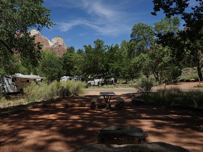
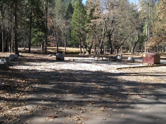
Camping Reservations
Reserve your campsite at these camping areas:
Hiking Trails
Looking for nice hiking areas to take a hike? Choose from these scenic hiking trails:
Related Link(s)
Explore the Unalakleet National Wild River!
UNALAKLEET NATIONAL WILD RIVER The clear, smooth waters of the Unalakleet National Wild River meander gently among the rolling Nulato Hills and across the broad expanses of the active tundra to the seaside village of Unalakleet, Alaska, at the rocky shores of the Norton Sound. Located 400 miles from Anchorage, the village of Unalakleet has approximately 800 people and is accessible only by plane. The headwaters of the Unalakleet River originate in the Nulato Hills. These rolling hills divide rainfall and snow melt between Norton Sound and the Yukon River basin. At this point, the river is swift and channelized; once it reaches the valley floor it begins to meander. For most of its length, the river has a varying pool/riffle nature, which offers a great diversity of river characteristics, boating opportunities, and fishing opportunities. The area™s remote location in Western Alaska means that visitors are unlikely to meet other recreationists while on their journey. However, travelers will likely encounter local fishermen and other local travelers in power boats along the lower reaches of the river. KALTAG PORTAGE The Unalakleet River is located within the Kaltag Portage, which has been an important route for travel, transportation, and trade between Norton Sound and Interior Alaska for thousands of years. It served as a vital link between the IÑupiat and Yup™ik of the coast, and the Yukon River and Athabascan groups in the Interior. During the period of Alaskan development, the Kaltag Portage was used as a route for both the historic Iditarod Trail and the Washington-Alaska Military Cable and Telegraph System (WAMCATS). CLIMATE The name Unalakleet is an IÑupiaq word meaning place where the east wind blows. Summer temperatures average from 40° to 60°F. Rain is common throughout the summer and varies between a light mist and a heavy downpour. Weather conditions can change quickly and summer storms can cause water levels to rise rapidly, creating potential flooding hazards. CAMPING There are no established campsites or public facilities along the river corridor. The Unalakleet National Wild River corridor ends at its confluence with the Chirosky River, 24 river miles upstream from the village of Unalakleet. In the wild river corridor and below the Chirosky River, there are individual Native allotments which are private. Contact the Unalakleet Native Corporation for permission to camp on Alaska Native lands below the Chirosky River. FISHING Fishing is excellent for Coho, Chum, and Pink salmon. Arctic grayling and Dolly Varden are also plentiful. SUMMER RECREATION The Unalakleet River supports such activities as fishing, boating, and camping. The best time to visit is July through mid-September to take full advantage of the midnight sunshine and discover what is considered to be one of the greatest salmon runs in Alaska. WINTER RECREATION The frozen Unalakleet River comes alive in winter with the joyful cries of sled dogs as the historic Iditarod Trail Sled Dog Race parallels the frozen river en route to the finish line in Nome. Popular winter activities along the river corridor include snowmobiling, dog mushing, ice fishing, hunting and trapping. RESOURCE MANAGEMENT The upper 81 river miles of the Unalakleet are designated a National Wild River and administered by the Bureau of Land Management. A “wild river” is free of impoundments, generally inaccessible except by trail, with primitive watersheds and shorelines, and has unpolluted waters. The BLM manages the Unalakleet National Wild River to provide high-quality primitive recreation opportunities, protect water quality, protect historic and archaeological values, and preserve the remarkable fisheries resources for which the river was designated.