

Directions
From I-35, take the Lake Shore Drive exit (Exit 339) and drive west to Steinbeck Bend Road. Turn right and proceed to second stop light. At the intersection with FM 1637 (China Spring Highway) turn right. Go to next stop light (Flat Rock Road). Turn left and drive approximately 1 mile to Skeet Eason Road. Turn left and drive about 0.5 mile. Airport Park is on the first road to the right.
Phone
254-756-5359
Activities
BOATING, CAMPING, FISHING
Keywords
Airport Park
Related Link(s)
Overview
The year-round campground at Airport Park is perfectly located between Waco Lake and the Waco Airport. Campers can look south and view the pristine waters of the lake, or look north and watch airplanes take off and land.
Recreation
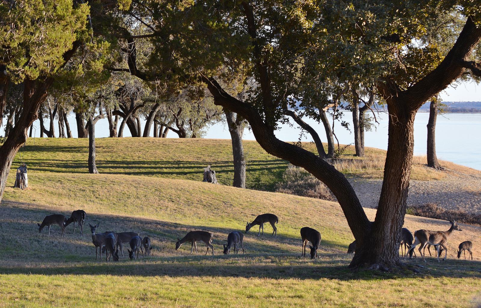
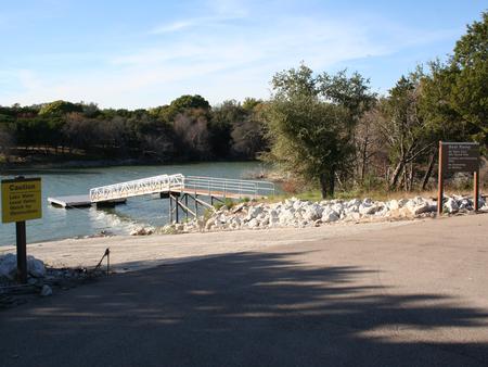
The main lake shoreline has a large amount of submerged timber, which typically holds fish year-round. Anglers will find plenty of catfish, crappie, large and smallmouth bass as well as sunfish. A boat ramp and dock help visitors enjoy the lake.
Facilities
Airport Park has 46 sites with 50-amp electric and water hookups, and 22 of these also have sewer hookups. There are 8 screen shelters with electrical outlets and water. Fourteen tent-only campsites without electric are also available. A group camping shelter is available for reservation, and comes with electric, sewer and water hookups. It is equipped with a six-foot grill, 12-foot serving bar, and pavillion with picnic tables. There are eight campsites with electric and water hookups, and six of these have sewer hookups. The group camping area fits about 80 guests.
Natural Features
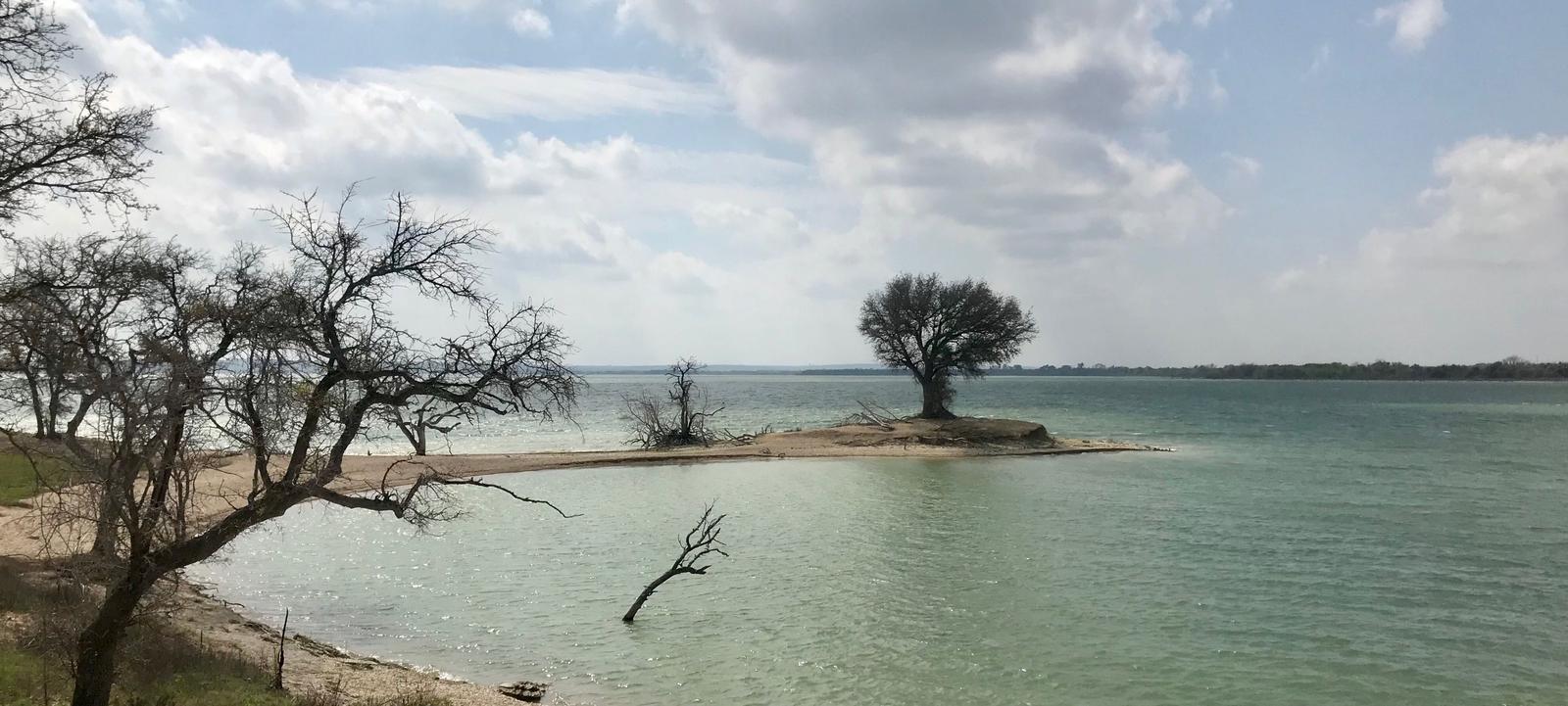
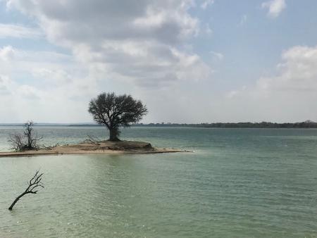
Airport Park is on the northern banks of Waco Lake, near the dam. The lake is primarily fed by the Bosque River, which runs for 115 miles through central Texas.
Nearby Attractions
Airport Park is located within the City of Waco and is 10 miles from Magnolia Market. About 15 min from Airport Park, Waco Lake Wetlands offers educational tours that take visitors through a six-acre nursery of aquatic plants and more than 130 species of birds. Cameron Park Zoo is also located nearby.