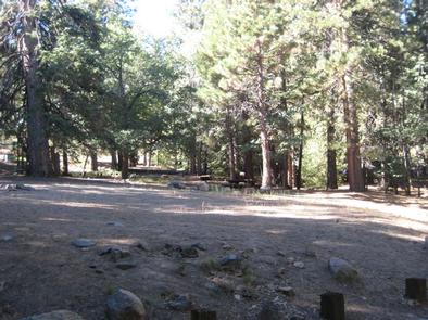
PINEKNOT, CA Campground Reservation, Info, Images, Map, Directions

PINEKNOT, California Campground Images, Info & Reservations

Directions

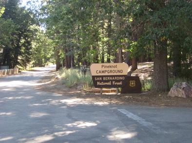
From I-10 in Redlands, take Highway 330 to Highway 18 in Running Springs. Continue east on Highway 18 at Big Bear Lake Dam, go straight at the dam and follow Highway 18. Turn onto Summit Boulevard and continue to a block wall. Turn left into the campground.

Phone

909-866-8550

Activities

BIKING, BOATING, CAMPING, FISHING, HIKING, MOUNTAIN BIKING

Keywords

PINK,SAN BERNARDINO NF – FS

Related Link(s)

Rec Area Info & Images

California State Road Conditions

Forest Service Concessionaire

California State Tourism

Overview

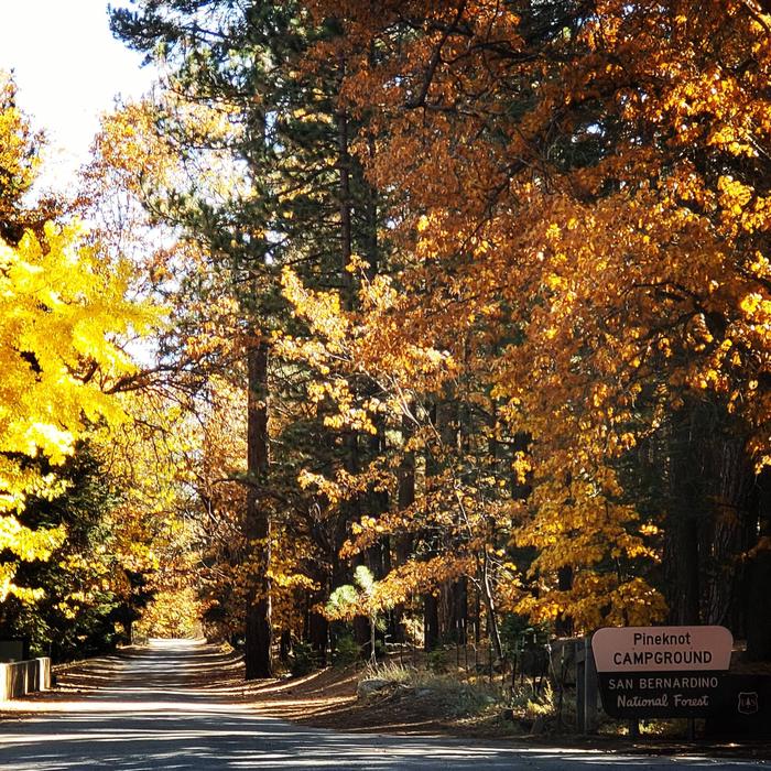
Pineknot Campground is located in the mountains of San Bernardino at Big Bear Lake. It is a popular destination for many outdoor enthusiasts looking for respite from the busy cities nearby. While the campground can accommodate RVs, it is best situated for tent camping. It is in a prime location for mountain biking.

Recreation

Its location at the base of a ski mountain provides visitors with unlimited access to popular lift-served mountain biking trails. Hikers also enjoy the campground’s proximity to a number of trails that vary in levels of difficulty.

Big Bear Lake offers a variety of water-related recreation opportunities, including boating and fishing. A marina is located about five miles from the campground. The cold waters of the lake aren’t too popular for swimming, but canoeing and sailing on the lake are viable options.

Facilities

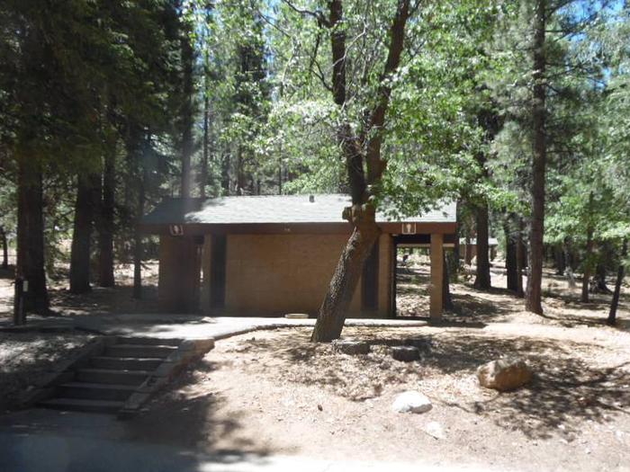
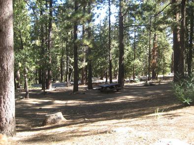
The campground offers dozens of single-family sites for tent or RV camping. Each site is equipped with a table and campfire ring with grill. Flush toilets and drinking water are provided. No hookups are available. Trash collection bins are also available and a campground host is on-site. A dump station is available across the lake at Serrano Campground.

Natural Features

The campground sits at the base of Snow Summit Ski Resort at an elevation of 6,900 feet. It is nestled in a dense forest of fir, pine and oak trees, which provide ample shade in the campground.

Nearby Attractions

The adjacent town of Big Bear Lake provides opportunities for shopping and dining.

Reservation

More from CampingHiking.net:

ORLEANS TRAIL, Missouri Campground Images, Info & Reservations

Directions From Stockton, Missouri, take State Highway 39 south approximately 1/2-mile to R.B. Road. Take a left and drive approximately 1/2-mile. Turn right on Blake Street, continue about 1/2-mile, and follow signs to the park area. Phone 417-276-6948 Activities BOATING, CAMPING, FISHING, WILDLIFE VIEWING, SWIMMING SITE Keywords ORLE,STOCKTON LAKE,STOCKTON,SECOND BEACH,STOCKTON

JACK BAY CABIN, Alaska Campground Images, Info & Reservations

Directions Access to the site is by float plane or boat only. The flight is typically 15 minutes from Valdez or a 30 minutes from Cordova. To travel by boat is 20 miles from Valdez and 70 miles from Cordova. Tides influence travel to the cabin. Click here for local

CRANESNEST CAMPGROUND (VA), Virginia Campground Images, Info & Reservations

Directions From Clintwood, VA main street turn left onto Rt. 83. Travel 2.6 miles and turn left onto Cranesnest Campground Rd. Travel 2.8 miles to the campground. Phone 276-835-9544 Activities BIKING, BOATING, CAMPING, FISHING, HIKING, HORSEBACK RIDING, PICNICKING, WILDLIFE VIEWING Keywords Related Link(s) Rec Area Info & Images Virginia State

WALDE LOOKOUT CABIN, Idaho Campground Images, Info & Reservations

Directions From Kooskia, ID, take Highway 12 East to Kamiah. Turn left onto Woodland Road for half a mile, then take the second right onto Glenwood Road (Road 100). Stay on this paved road until you reach the junction with Yakus Creek Road (Road 519). Park here (be sure to

ST LUCIE SOUTH, Florida Campground Images, Info & Reservations

Directions From I-95, take Exit 101 (Stuart/Indiantown), following SR 76 W for 0.5 miles to Locks Road. Turn right onto Locks Road for 1.3 miles to SW Canal Street and turn left into the campground. Phone 772-287-1382 Activities BOATING, CAMPING, FISHING, HIKING, VISITOR CENTER, DAY USE AREA, CANOEING, BIRDING Keywords

NIZHONI, Utah Campground Images, Info & Reservations

Directions From Blanding, Utah, travel north on Highway 191 approximately two miles. Turn left on E. Pinion Ridge Road (National Forest Access sign: Dry Wash Reservoir) and proceed 3/4-mile to the stop sign. Turn right on Forest Road 079 and continue approximately 10 miles to the campground on the right