Directions
From Interstate 25, exit at Bernardo (Exit 175, approximately 17 miles south of Belen and 36 miles north of Socorro) and drive west and then southwest on Old Hwy 60 (Camino Sierra Ladrone). Cross the old steel bridge over the Rio Puerco, drive another half mile, and turn right onto County Road 12 just before the pavement ends. Drive northwest on County Road 12 for approximately 7 miles.
For the next 5 miles you will encounter unmaintained, unmarked routes on the left side of the road that lead to the WSA.
Phone
575-835-0412
Activities
HIKING
Camping Reservations
Reserve your campsite at these camping areas:
Hiking Trails
Looking for nice hiking areas to take a hike? Choose from these scenic hiking trails:
Related Link(s)
More New Mexico Recreation Areas
BLM New Mexico YouTube Channel
BLM New Mexico YouTube Channel
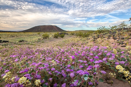
The Sierra Ladrones WSA is located in west-central New Mexico. It rises precipitously out of the Rio Grande Valley on the east and from mesa grasslands and piÑon-juniper woodland on the north, west, and south. The area is highly scenic and contains the Rio Salado creek in the south. The diverse topography includes high mountain peaks, isolated canyons, and badlands. There are no designated trails; however, hikers who find their way to the top of Ladrones Mountain are rewarded with panoramic views.