Directions
The Shoshone River can be accessed directly west of Cody along the North Fork Highway, within Cody, and downstream along US Highway 14a.
Phone
(307) 578-5900
Activities
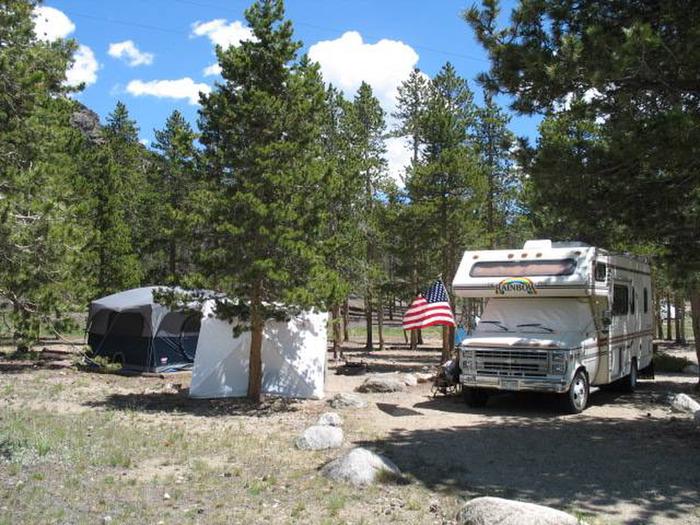
BIKING, BOATING, FISHING, HIKING, HORSEBACK RIDING, HUNTING, PICNICKING, WILDLIFE VIEWING, ENVIRONMENTAL EDUCATION, PHOTOGRAPHY
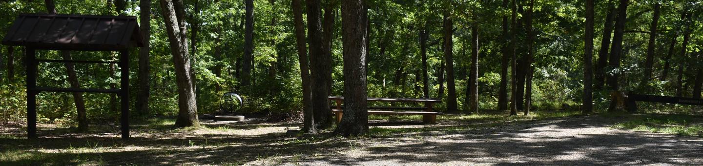
Camping Reservations
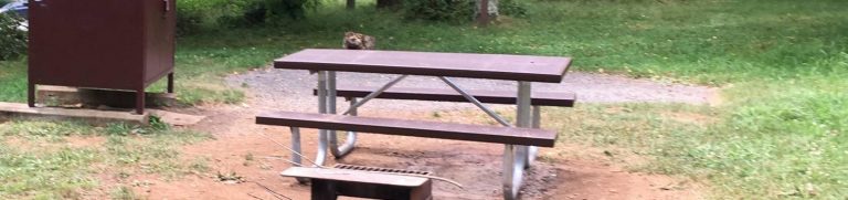
Reserve your campsite at these camping areas:
Hiking Trails
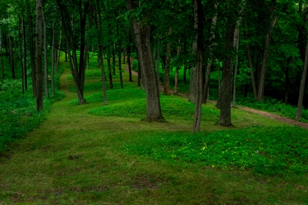
Looking for nice hiking areas to take a hike? Choose from these scenic hiking trails:
Related Link(s)
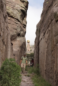
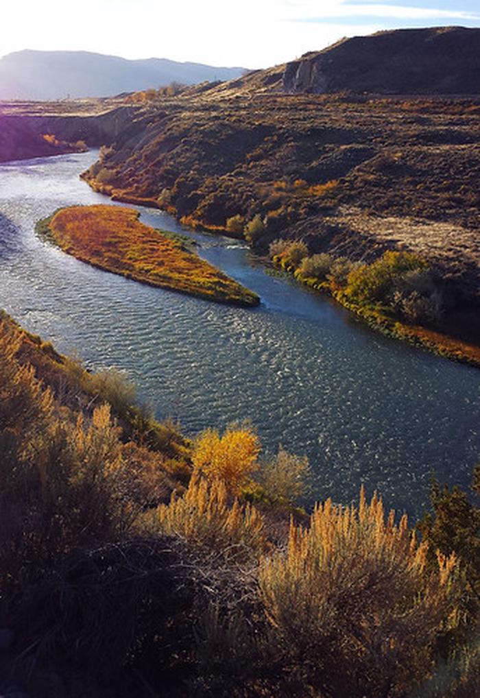
The Shoshone River runs from the Buffalo Bill Dam through an awesome canyon bordered by Cedar and Rattlesnake Mountains through Cody, Wyoming, and ultimately draining into Yellowtail Reservoir (fed primarily by the Bighorn River).
The Shoshone River offers many different types of recreational opportunities such as fishing, floating, waterfowl, upland bird, and big game hunting, hiking, horseback riding, mountain biking, and other dispersed recreational activities.
The majority of river activities are observed in the upper stretch of the Shoshone, ranging from advanced kayaking at the Haden Arch (within the Shoshone Canyon) to rafting from the boat ramps within Cody east to the McCullough Peaks area. The BLM parcels along the Shoshone offer wonderful access to the river and provides for exceptional outdoor recreation within and outside of Cody.