
Directions
From Ketchum, take Highway 75 north for 10 miles. Turn at the Wood River Campground sign. Stay on the main campground road for a short distance until you reach the group area parking lot on the right side of the road.
Phone
928-537-8888
Activities
CAMPING, FISHING, HIKING, DAY USE AREA
Keywords
WOOC,SAWTOOTH NF – FS
Related Link(s)
Overview
Wood River Group Overnight Area is located inside the Wood River Campground, which has 30 single campsites for RV’s and tent camping, which are available for use on a first-come first-served basis.
This campground is located on the banks of the beautiful Big Wood River at an elevation of 6400 feet. Ketchum, Idaho is conveniently close, only 10 miles south. Visitors enjoy fishing, tubing and exploring local trails.
Recreation
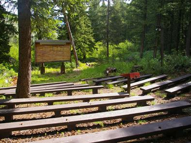
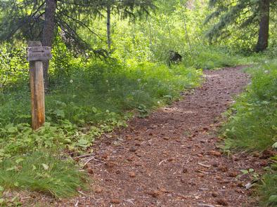
This site is part of the Sawtooth National Recreation Area, where outdoor activities abound. Fly-fishing for rainbow, brown and brook trout is popular on the Big Wood River, as is float tubing. A self-guided nature trail begins near the amphitheater, leading to a small cave and a beaver pond.
Facilities
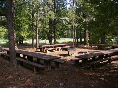
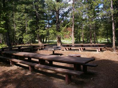
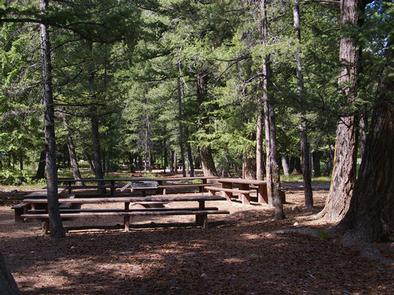
Wood River offers one reservable group site that can be used as a day-use picnic area for up to 150 people, or as an overnight tent camping site for up to 40 people. Also Wood River Campground has 30 single campsites for RV’s and tenting which are available for use on a first-come first served basis.
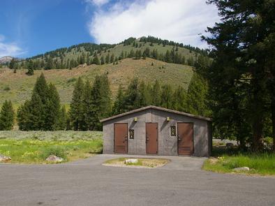
Flush toilets and drinking water are provided. An amphitheater with electricity and wooden benches is just a short walk from the site. Roads and parking spurs are paved, but the site surface is dirt.
Natural Features
A forest of Douglas fir, Ponderosa pine, Lodgepole pine and aspens offers plentiful shade within the facility. Colorful summer wildflowers are abundant and willows dot the banks of the river. Temperatures are cool with an average summer high of 78 degrees and a low of 40 degrees.
Nearby Attractions
The 20-mile Harriman Trail passes nearby, offering excellent hiking and biking. Numerous additional trails spur off the Harriman Trail leading to deep canyons, sparkling lakes, swimming holes and more great high country fishing.
The Sawtooth National Recreation Area Visitor Center is 2.5 miles from the campground, with a small museum, bookstore and area information. An RV dump station and drinking water are located here as well.
Easley Hot Springs is 4 miles north, offering a swimming pool, hot tubs, showers and a small store. Sun Valley Resort is 7 miles south, with hiking, biking, guided horseback riding and beautiful mountain scenery.
Popular area events include Wagon Days in Ketchum in September. In Stanley an hour away, an Arts & Crafts Fair is held in July and a Salmon Festival, Quilt Fair and Fireman’s Ball in September.