NORWAY BEACH LOOP, MN Campground Reservation, Info, Images, Map, Directions

NORWAY BEACH LOOP, Minnesota Campground Images, Info & Reservations

Directions

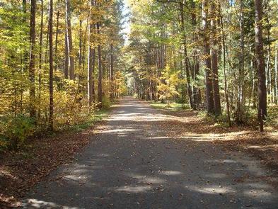
From Cass Lake, Minnesota, take U.S. Highway 2 east for 4 miles to the Norway Beach Recreation Area. Turn left and follow the campground road until the signs indicate the Norway Loop.

Phone

21-835-4291

Activities

BIKING, BOATING, CAMPING, FISHING, WATER SPORTS, SWIMMING SITE

Keywords

Norway Beach Campground,Norway Campground

Related Link(s)

Rec Area Info & Images

Minnesota State Tourism

Minnesota State Road Conditions

Overview

Norway Beach Loop is part of the Norway Beach Recreation Area on the southern shores of beautiful Cass Lake in north central Minnesota. Visitors enjoy the area for its excellent boating and fishing opportunities.

Recreation

Cass Lake offers many recreational activities, including boating, canoeing, water skiing and swimming. Anglers fish for walleye, Northern pike, perch and trophy muskie, with a boat ramp nearby.

Star Island, in the middle of Cass Lake, is a unique feature of the Chippewa National Forest. Six miles of trails wind around the island, which is home to 199-acre Lake Windigo.

Hiking and biking trails are available in the area, including the Migizi Bike Trail and the Norway Beach Trail.

The Norway Beach Visitor Center is nearby. This building, with its magnificent fireplace, is a monument to the talents and craftsmanship of Civilian Conservation Corps (CCC) enrollees. Programs and displays depict Dakota and Ojibway heritage and the area’s flora and fauna.

Special annual events are held at the center, including a Kids Fishing Day in June, Bald Eagle Day in July and Smokey Bear’s Birthday Party in August. Interpretive programs are offered Wednesdays, Fridays and Saturdays from Memorial Day through Labor Day.

Facilities

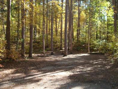
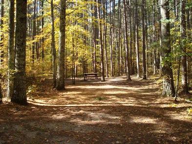
Norway Beach Loop offers numerous campsites, each equipped with a picnic table and campfire ring. Flush and vault toilets, showers and drinking water are provided. Firewood is available for purchase from the host.

Natural Features

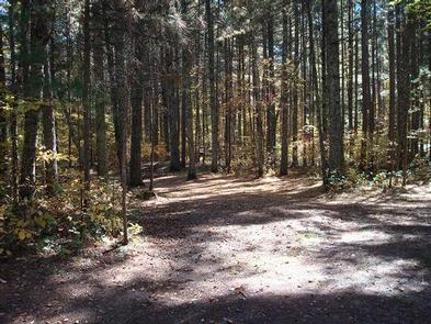
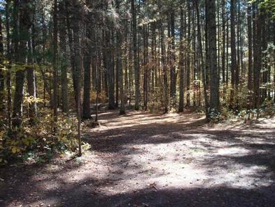
The campground is situated 500 ft. from the banks of Cass Lake, in a forest of red and white pines.

Cass Lake is the largest of eight lakes that make up the Cass Lake Chain of Lakes. The lake covers nearly 16,000 acres and has 27 miles of forested shoreline and sandy beaches.

Nearby Attractions

The town of Cass Lake, Minnesota is 4 miles west of the campground, offering restaurants, a bank, grocery and hardware stores, a movie theater and museum.

Reservation

More from CampingHiking.net:

KADAKE BAY CABIN, Alaska Campground Images, Info & Reservations

Directions Access is by boat (13 miles from Kake), or float plane (39 miles from Petersburg). Float planes generally land near the mouth of the bay and require up to a 2-mile hike across the tide flat. An 18-foot or higher tide is required for direct boat or float plane

APPLETON COVE CABIN, Alaska Campground Images, Info & Reservations

Directions Accessible from Sitka year round, weather permitting. 30 air miles or 50 boat miles north of Sitka on Baranof Island just south of Peril Strait on the southeast shore of Appleton Cove. Access from Sitka, 25 minutes by float plane or 2 hours by boat. Occasionally winter temperatures can

RATCLIFF LAKE RECREATION AREA, Texas Campground Images, Info & Reservations

Directions From Crockett, take State Highway 7 east for 15 miles. The recreation area is on the left between the towns of Ratcliff and Kennard. Phone 936-655-2299 Activities BOATING, HISTORIC & CULTURAL SITE, CAMPING, FISHING, HIKING, DAY USE AREA, SWIMMING SITE, KAYAKING, CANOEING Keywords RATC,NFs IN TEXAS -FS Related Link(s)

COWPUNCHER GUARD STATION, Utah Campground Images, Info & Reservations

Directions From Highway 12 in Escalante, turn north on 300E. Drive 14 miles to the junction of Forest Roads 154 and 153. Continue on FR153 for 4.5 miles. Turn left on FR145 towards Cowpuncher and Blue Spruce Campground. Travel 0.7 miles to Cowpuncher Gate. The cabin is 0.2 miles past

LAKE POWHATAN, North Carolina Campground Images, Info & Reservations

Directions From Asheville, take I-26 to exit 33. Go south approximately 2 miles on State Route 191 to the Lake Powhatan Recreation Area sign. Turn right and follow signs to the campground. Phone 828-552-8040 Activities BIKING, BOATING, CAMPING, INTERPRETIVE PROGRAMS, FISHING, HIKING, PICNICKING, DAY USE AREA, SWIMMING SITE, ENVIRONMENTAL EDUCATION,

CALAMITY, Idaho Campground Images, Info & Reservations

Directions From Idaho Falls, Idaho, travel on Hwy. 26 for approximately 50 miles. Turn right off of Hwy. 26, (just before ascending grade to top of dam) and go ¼ mile, turn right and cross the river following signs to the campground. Distance is approximately 5 miles. Phone 208-270-0150 OR