
Directions
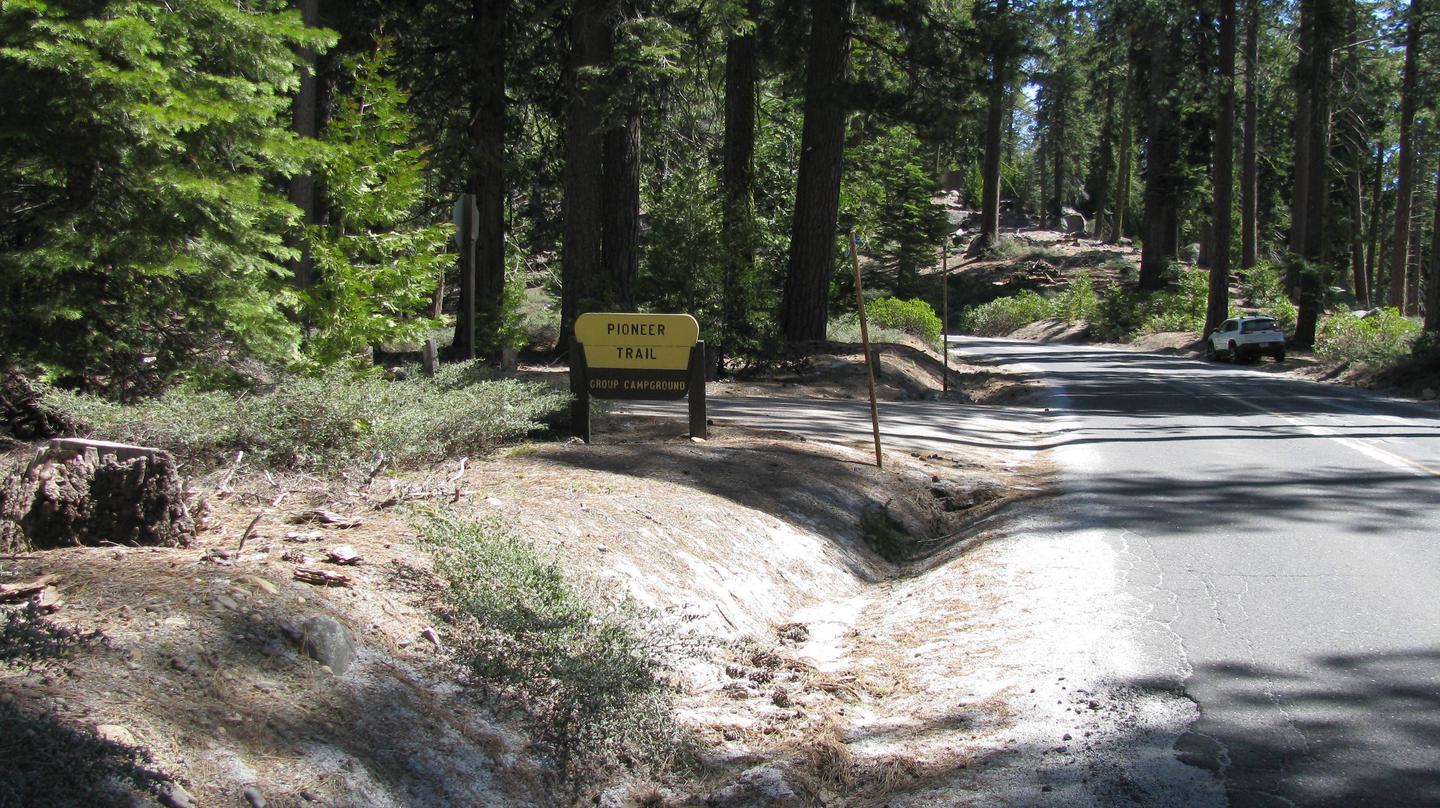
From Sonora, California, take Highway 108 east for about 30 miles. Exit at Pinecrest Lake and turn right on Dodge Ridge Road. Continue 1 mile to Pioneer Trails Campground, located on the left.
Phone
209-965-3474
Activities
BOATING, CAMPING, FISHING, HIKING, SWIMMING SITE
Keywords
PION,STANISLAUS NF -FS
Related Link(s)
California State Road Conditions
Overview
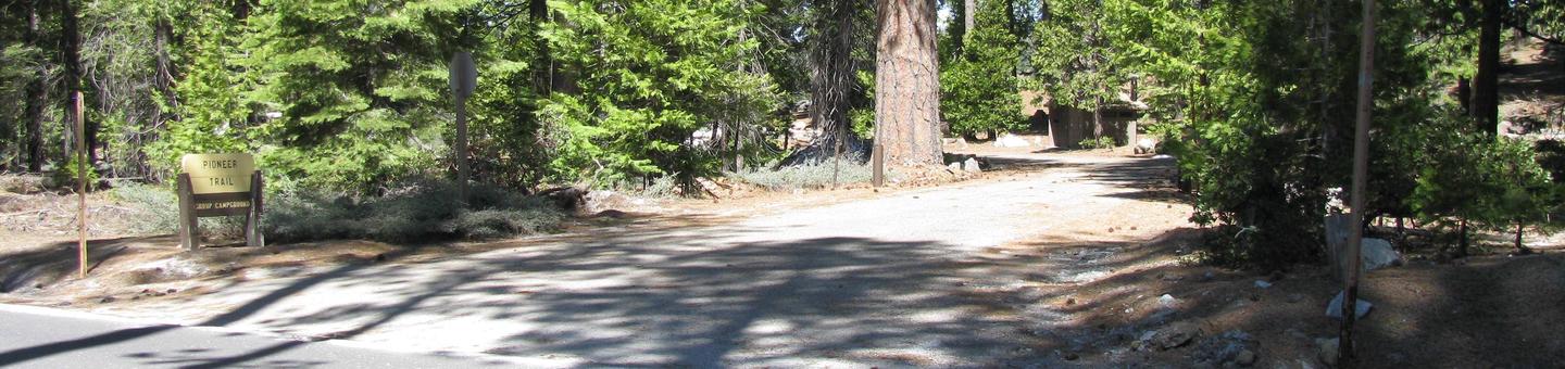
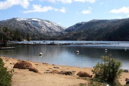
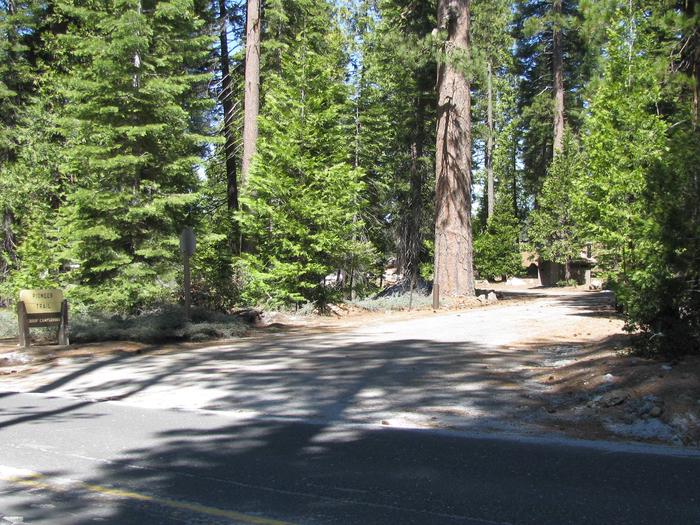
Pioneer Trail Group Campground offers groups of up to 100 people the opportunity to camp near the beautiful Pinecrest Lake. The campground is located within the Pinecrest Recreational Area just 2 miles from the lake, which beckons visitors with excellent fishing, boating, hiking and swimming opportunities.
In this spectacular mountain region, wildlife viewing opportunities include marmots, squirrels, coyotes and deer.
Recreation
The Pinecrest Lake National Recreation Trail takes hikers on an easy 4-mile stroll around Pinecrest Lake. Rainbow trout is a common catch in the lake and swimming is enjoyed in designated beach areas.
Facilities
Campsites 1 and 3 will accommodate up to 50 campers and Site 2 will accommodate up to 100 campers. Each site features a large campfire circle, picnic tables and vault toilets. No RV hookups or electricity are available. Pay showers are within a few miles. Winter camping is available on a first-come, first-served basis. Pets are welcome, but must be compliant with Tuolumne County leash laws.
Natural Features
Pioneer Trail sits at an elevation of 5,600 feet, in a wooded area near the southwest side of the 300-acre Pinecrest Lake in Stanislaus National Forest.
Stanislaus National Forest is located in the central Sierra Nevada Mountains, between Lake Tahoe and Yosemite. It boasts gorgeous views of snow-capped mountain peaks and California’s Great Central Valley.
Nearby Attractions
The nearby Sonora Pass is a scenic winding highway that has guided people across the Sierra Nevada since 1852.