Peterson Prairie Campground, WA Campground Reservation, Info, Images, Map, Directions

Peterson Prairie Campground, Washington Campground Images, Info & Reservations

Listen

Directions

From SR 14 follow SR 141 North to the town of Trout Lake, continue through town on SR 141 till the road ends and FS 24 begins(approximately 5 miles WSW of town). Continue west on FS 24 for another 2.25 miles to the entrance of Peterson Prairie.

Phone

541-338-7869

Activities

CAMPING, WILDLIFE VIEWING

Keywords

PETE,GIFFORD PINCHOT NF – FS

Related Link(s)

Rec Area Info & Images

Washington State Road Conditions

Washington State Tourism

Forest Service Concessionaire

Overview

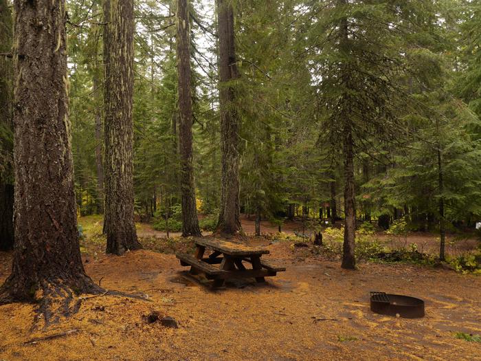
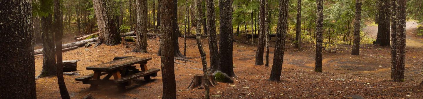
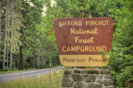
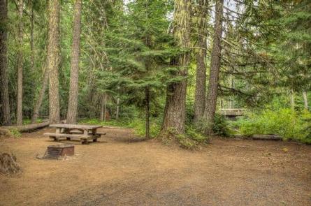
Peterson Prairie Campground offers shaded and secluded campsites nestled in a forest of large pine, spruce and fir trees. The campground tends is popular among huckleberry pickers.

At an elevation of 2,800 ft., Peterson Prairie offers a cool summertime climate during the hottest part of the season. Several kid-friendly attractions are a short distance away, making this campground a great choice for families.

Recreation

Seasonal harvesting of huckleberries and mushrooms is a popular pastime.

Natural Bridges and Ice Cave are scenic, family-friendly nature trails near Peterson Prairie Campground. A stairway leading into the Ice Cave allows convenient access to the cave’s incredible ice formations. Please be prepared when visiting the caves. Information is avaialble at the campground and the Mt Adams Ranger Station.
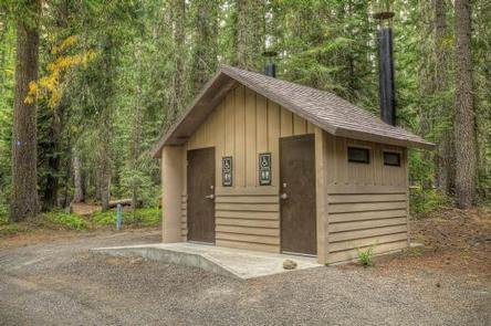
Facilities

Drinking water and vault toilets are available. Each site has a picnic table and fire ring. The sites are spacious with gravel parking spurs.
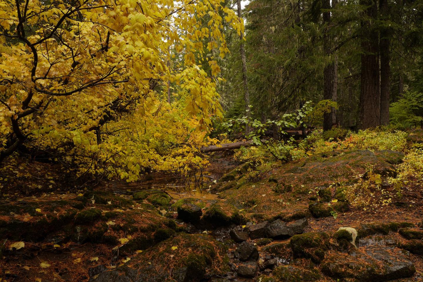
Natural Features

Located in southwest Washington State, the Gifford Pinchot National Forest encompasses 1.3 million acres and includes the 110,000-acre Mount St. Helens National Volcanic Monument established by Congress in 1982.

Peterson Prairie is located in the Mt. Adams Ranger District. Nearest town is Trout Lake, WA.

The Mount Adams Ranger District offers a large variety of habitats and natural features, from old growth to second growth forest, wetland areas, low and high elevation meadows, glaciers, and low and high elevation lakes.

Nearby Attractions

This campground is near Bird Creek Meadows, a trail that offers spectacular wildflower displays and opportunities to observe numerous birds.

Goose Lake is 8 miles west of the campground and offers excellent trout fishing.

Reservation

More from CampingHiking.net:

POCKET PICNIC SHELTER, Georgia Campground Images, Info & Reservations

Listen Directions From I-75, take Exit 320 (LaFayette/Resaca) and head west on Georgia State Route 136 for approximately 14 miles. Turn left onto Pocket Road and continue approximately 7 miles. The recreation area is on the left. The second driveway leads to the picnic shelter. Phone 706-695-6736 Activities HISTORIC &

BURNS RUN WEST, Oklahoma Campground Images, Info & Reservations

Listen Directions From Highway 75 in Denison, Texas, take Exit 72 to Highway 91, travel north on 91 across Denison Dam, 5 miles. Take the second left, follow signs for about 1.5 miles. Physical address: 825 West Burns Run Road, Cartwright, OK 74731 Phone 580-965-4922 Activities CAMPING, SWIMMING SITE Keywords

WHEELER GORGE, California Campground Images, Info & Reservations

Listen Directions From Ventura, take Highway 33 north about 14 miles. Turn left, continuing on Highway 33 for another 8 miles to the campground. From Los Angeles, take I-5 north, then turn west onto Highway 126 for about 28 miles, to Santa Paula. Continue north on Highway 150 for 16

MAY CREEK CABIN, Montana Campground Images, Info & Reservations

Listen Directions From Wisdom, travel west on Highway 43 for about 16 miles to the May Creek Campground. Guests can park in the plowed parking area near the highway at the entrance to the campground during the winter. During the summer months, follow the campground road to the fence at

BLANCO RIVER GROUP CAMPGROUND, Colorado Campground Images, Info & Reservations

Listen Directions From Pagosa Springs, Colorado, travel 13 miles south on Highway 84, then turn east on Forest Road 656 for approximately two miles. Phone 970-264-2268 Activities CAMPING, FISHING, HIKING Keywords Blanco,Blanco River,Blanc,Blanko Related Link(s) Rec Area Info & Images Forest Service Concessionaire Colorado State Road Conditions Colorado State Tourism

DALE MILLER YOUTH, Illinois Campground Images, Info & Reservations

Listen Directions From I-57 take take exit 71 and turn west onto Route 14. After 3 miles turn right on Rend City Road, then right again on Main Dam Road. Continue 3 miles to the camp entrance on the left. Phone 618-724-2493 Activities BIKING, BOATING, CAMPING, INTERPRETIVE PROGRAMS, FISHING, HIKING,