
Directions
Driving Directions: From Costilla, NM, on State Highway 522, travel east on State Highway 196 past Amalia to the intersection of Forest Service Road 1950. Travel on 1950 (a gravel road) east to the unit boundary. Follow Forest Service Road 1950 to the junction with Forest Service Road 1900. Turn right; you will cross Costilla Creek. Continue on Forest Service Road 1950, 10 miles to the junction with Forest Road 1910. Climb 1 mile up the hill to Cimmarron Campground.
Phone
575-586-0520
Activities
BIKING, CAMPING, FISHING, HIKING, HUNTING, WATER SPORTS, WILDLIFE VIEWING
Keywords
None
Related Link(s)
New Mexico State Road Conditions
Overview
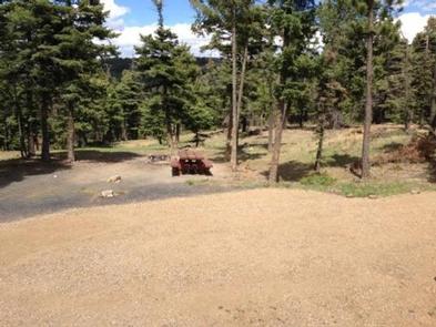
Cimarron Campground is located in the scenic Valle Vidal within Carson National Forest in northern New Mexico, at an elevation of 9,300 feet. The sites are tucked among spruce, aspen and fir trees, and the camp offers an open range feel.
Visitors have opportunities to enjoy a variety of recreational activities in a picturesque setting. Viewing wildlife and simply relaxing in the mountain air are popular activities.
Recreation
Anglers can fish for Rio Grande cutthroat trout in Comanche Creek and the Rio Pueblo. Nearby Shuree Ponds offers excellent fishing. The smaller pond is a fishing hole for kids 12 and under. The main pond is stocked with rainbow trout and is also popular for float tubing.
The area around the campground is open to horseback riding, and there are few maintained trails. Elk and deer hunting is excellent.
Facilities
The campground contains 36 overnight campsites, which includes nine horse sites, two double sites and 25 single-family sites. Vault toilets and drinking water are provided. Sites are equipped with picnic tables and campfire rings with grills. Horse corrals and water troughs are available in the campground. A host is on-site and trash collection is provided.
Natural Features
Some of the finest mountain scenery in the Southwest is found in the 1.5 million acres within the Carson National Forest. Elevations range from 6,000 feet to 13,161 feet at Wheeler Peak, the highest in New Mexico.
Big game animals roam the Carson, including mule deer, elk, antelope, black bear, mountain lion and bighorn sheep. Many species of smaller animals and songbirds can also been found in the forest.
Cimarron Campground is located within the beautiful Valle Vidal, a Spanish term meaning “Valley of Life,” of the Sangre de Cristo Mountains. Shuree Ponds, Comanche Creek and the Rio Pueblo are all near the campground, offering excellent fishing.