
Directions
From Interstate 5, take the Black Butte Lake exit at Orland, CA. Travel west on County Road 200/Newville Road for 12 miles. Turn left on Buckhorn Road and enter the Buckhorn Recreation area.
Phone
530-865-4781
Activities
BIKING, BOATING, CAMPING, FISHING, HIKING, WILDLIFE VIEWING, SWIMMING SITE
Keywords
BHOR,BLACK BUTTE LAKE
Related Link(s)
California State Road Conditions
Overview
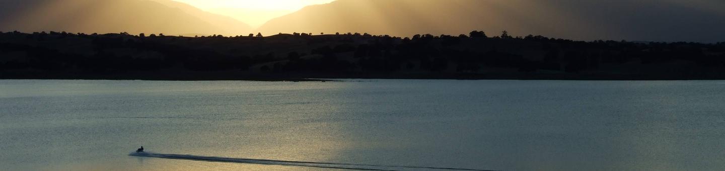
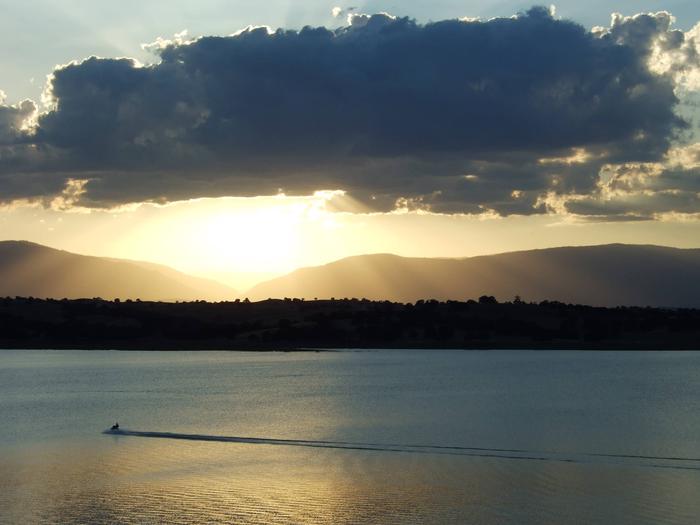
Buckhorn Recreation Area is at Black Butte Lake, situated at the northern end of the Sacramento valley, 100 miles north of Sacramento, CA and 30 minutes south of Red Bluff, CA. The lake is a popular meeting place for water sports and outdoor enthusiasts, so bring family and friends for an incredibly scenic getaway.
Recreation
Find excitement with wake boarding and sailing or explore the shoreline’s 13 miles of fitness trails for hiking, running and biking. Black Butte is renowned for its warm-water fishing, including catches such as crappie, channel catfish, and large and smallmouth bass.
Facilities
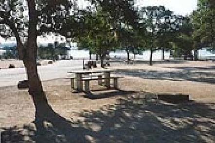
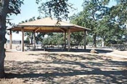
Buckhorn has 93 campsites, including a group campground and five walk-in sites. Conveniences include showers, a modern boat ramp complex, two playgrounds, an exercise area, and shoreline access. No sites have electric or water hookups. The area is open year-round.
Natural Features
Black Butte Lake was formed in 1963 with the completion of the Black Butte Dam on Stony Creek.
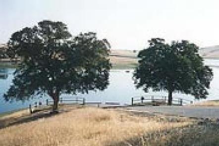
The lake’s surface area measures 4,460 acres when water levels are high. Black basalt buttes and blue oak woodland hug the lake’s 40 miles of shoreline.
Nearby Attractions
A 18 hole disc golf course can be accessed across from the Orland Buttes Campground. Horeseback riders can make use of the horse trails at Grizzly Flat and Burris Creek. Drive east to visit the Mendocino National Forest.