
Directions
From south of Fresno: Take SR 99 to SR 41 north and go 21 miles to SR 145. Turn left on 145 and go 8.4 miles to Road 33. Turn right on Road 33, and go one mile to Road 400. Take a right onto 400 and go 7.1 miles to Road 603. Turn left and go 1 mile to Road 407. Take a right on 407 and drive 1.7 miles to the campground.
From south of Madera: Take SR 99 north to exit 153B. Bear right onto Madera Ave. and go .3 miles to Gateway. Turn left and drive .2 miles to the traffic light at Yosemite Ave. (SR 145). Turn right and go 7.2 miles to Road 33. Turn left on Road 33, and go 1 mile to Road 400. Take a right onto 400 and go 7.1 miles to Road 603. Turn left and go 1 mile to Road 407. Take a right on 407 and drive 1.7 miles to the campground.
From north of Madera: Take State Route 99 south to exit 153B. Exit onto Olive Ave. Turn left onto Madera Ave. and go .3 miles to Gateway. Turn left and drive .2 miles to the traffic light at Yosemite Ave. (SR 145). Turn right and go 7.2 miles to Road 33. Turn left on Road 33, and go one mile to Road 400. Take a right onto 400 and go 7.1 miles to Road 603. Turn left and go 1 mile to Road 407. Take a right on 407 and drive 1.7 miles to the campground.
Phone
559-673-5151
Activities
BIKING, CAMPING, HIKING, SWIMMING SITE
Keywords
HIDV,HENLEY LAKE,MADERA SIDE,WEST SIDE,HIDDEN DAM,HENSLEY LAKE
Related Link(s)
California State Road Conditions
Overview
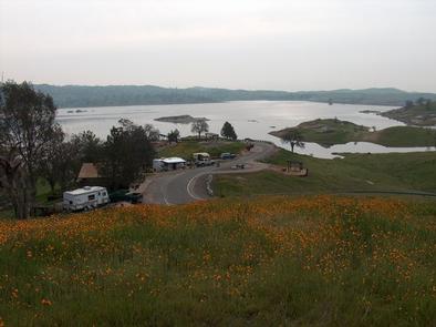
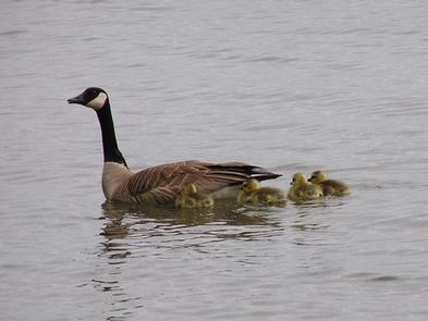
Hidden View Campground is located at Hensley Lake in the foothills of central California, 50 miles north of Fresno. The lake area offers many recreational opportunities, such as swimming, water skiing, fishing and hiking, and attracts a growing number of visitors per year. It is within a short drive to Yosemite, Kings Canyon and Sequoia National Parks, as well as Sierra National Forest.
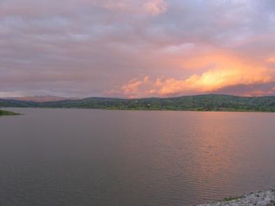
The 1,500-acre lake was created by the construction of Hidden Dam on the Fresno River. With over 20 miles of shoreline, it is a popular vacation spot for families and those who enjoy water activities.
Recreation
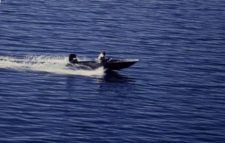
The area is packed with opportunities for outdoor fun. Campers enjoy boating, water skiing and fishing on the water. Bank fishermen have easy access to the lake’s shoreline.
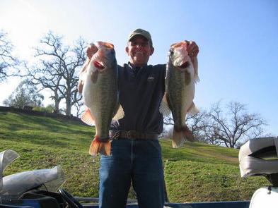
Lake fishing is particularly good in the coves where largemouth black bass, crappie, bluegill and catfish are found in abundance. Rainbow trout are stocked in the lake each winter.
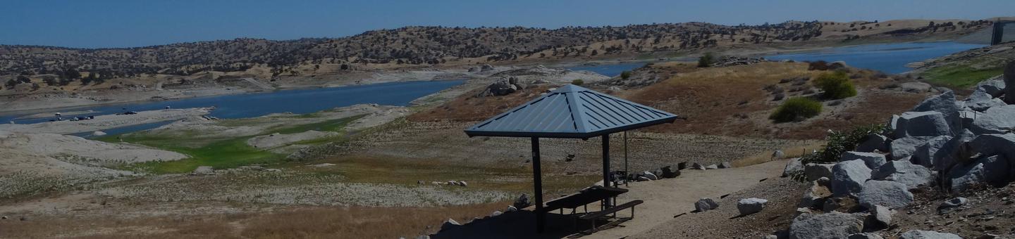
On the other side of the lake, there is a swim beach, a disc golf course and a hiking, mountain biking and equestrian trail. One hiking trail is located within walking distance of the campground.
Educational programs are offered at the campground’s amphitheater every Saturday night during summer months.
Facilities
Hidden View campground provides 55 campsites including two group campsites. Some sites have electric hookups, and all campsites are located within walking distance of the lake and boat ramp.
Natural Features
Hidden View is located on the shores of Hensley Lake and is surrounded by the oak woodlands of the Sierra Nevada foothills, offering a mixture of sun and shade.
The area has significant historical value as it was once home to the Miwok and Yokut Native American Tribes.
Nearby Attractions
Yosemite National Park is about one hour north, and Sequoia and Kings Canyon National Parks are about 1.5 hours southeast of the facility.
Sequoia and Kings Canyon National Parks