
Directions
From Columbia, KY, take Cumberland Parkway to exit 49 and merge onto Highway 55 north. Continue for 1.5 miles, then turn right on Highway 551. After a mile turn left on Holmes Bend Road and follow directional signs to the campground.
Phone
270-384-4623
Activities
BIKING, BOATING, CAMPING, INTERPRETIVE PROGRAMS, FISHING, HIKING, HORSEBACK RIDING, HUNTING, PICNICKING, WILDLIFE VIEWING, DAY USE AREA, OTHER RECREATION CONCESSION SITE, SWIMMING, KAYAKING, CANOEING, WATER ACCESS, AMPHITHEATER
Keywords
HOBE,GREEN RIVER LAKE
Related Link(s)
Kentucky State Road Conditions
Overview
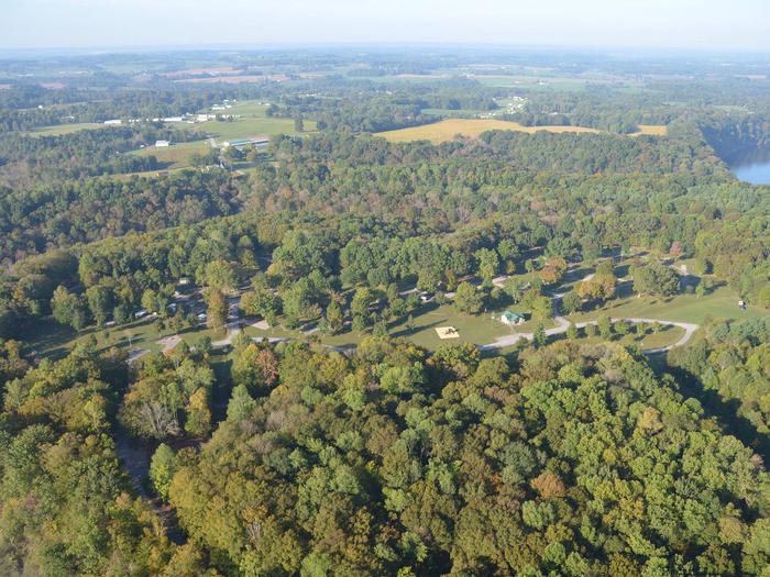
Situated along Kentucky’s Highland Rim, Holmes Bend Campground is surrounded by forested tracks, rolling meadows and the pristine banks of Green River Lake.
Click here for the Green River Lake Virtual Tour.
Recreation
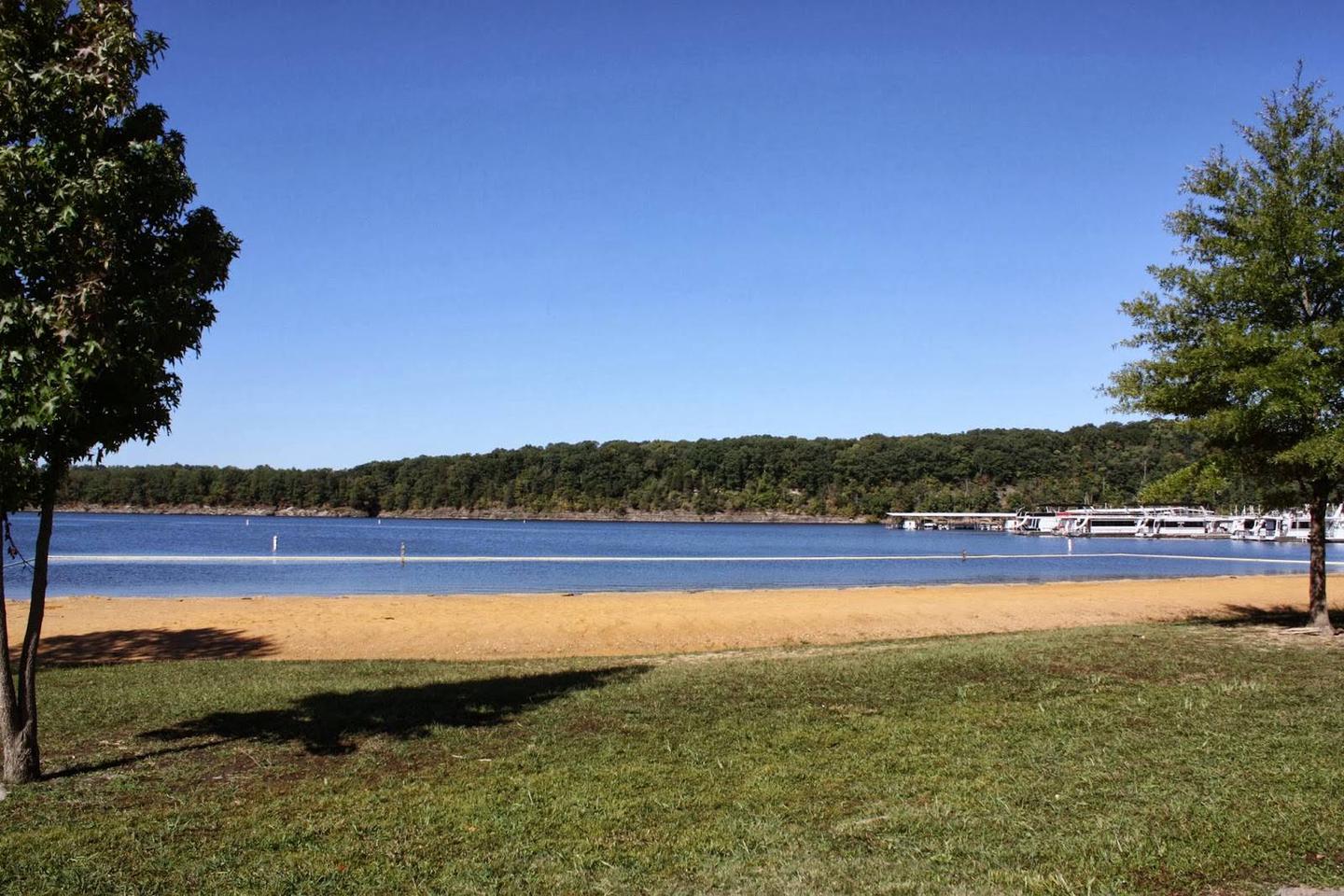
With 8,000 surface acres of water, the lake is an ideal place for boating. With ten boat ramps located around the shoreline, guests have plenty of room for fishing, jet skiing, wake boarding and more. Three full-service marinas are also located around the lake.
Fishing is a popular activity at Green River Lake: Walleye, crappie, white bass, channel catfish, muskie and bluegill are all found in abundance.
Hunters enjoy the surrounding land, with various habitats supporting deer, turkey, rabbit, quail, squirrel, dove and waterfowl.
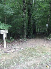
There are also miles of trails that wind around the lake and along the shore, affording some of the most scenic views in the region.
Facilities
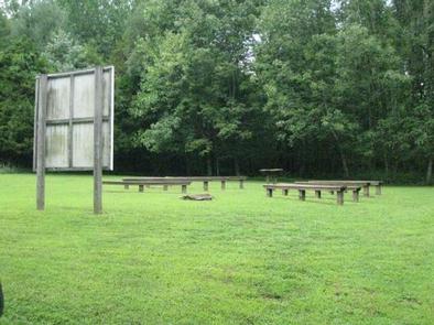
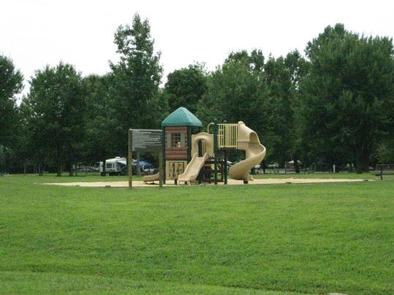
Holmes Bend Campground offers 125 campsites, 102 of which have electric hookups only and 52 of which have water and electric hookups. Amenities like flush toilets, showers, fire rings and drinking water provide a comfortable camping experience. A playground and an interpretive trail offer additional recreation opportunities within the campground. A swimming beach, several miles of multi-use trails to include horseback riding, a reservable picnic shelter, parking areas, additonal playground and restroom facilities, boat ramp, courtesy dock, fishing pier, marina, and marina owned rental cabins are all located within 1 mile of the campground.
Natural Features
Green River Lake area encompasses a total of some 32,000 acres in the central portion of Kentucky, creating countless recreational activities for visitors on the water and on land.
Nearby Attractions
Several historical attractions and National Parks are located within an hour of Green River Lake, including the birthplace of Abraham Lincoln and Mammoth Cave National Park.
Charges & Cancellations
Customers who change their dates outside the original reservation date (i.e., different week or month) will incur a $10 change fee. No-shows are charged a $20.00 fee plus the first nights use fee.