THOMSON CAUSEWAY, IL Campground Reservation, Info, Images, Map, Directions

THOMSON CAUSEWAY, Illinois Campground Images, Info & Reservations

Listen

Directions

Take IL Route 84 to Thomson, Illinois. Turn west onto Main Street, then turn south onto Lewis Avenue.

Phone

815-259-3628

Activities

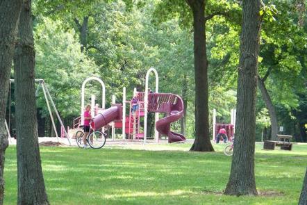
BIKING, CAMPING, FISHING, HIKING, HUNTING, DAY USE AREA

Keywords

THOS,MISSISSIPPI RV. RI,thompson

Related Link(s)

Rec Area Info & Images

Illinois State Road Conditions

Illinois State Tourism

Overview

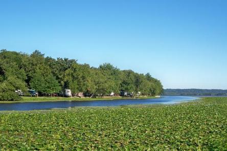
Thomson Causeway provides the unique experience of island camping on the great Mississippi River and it’s well worth a try!

The western edge of the recreation area offers visitors an unobstructed view of the widest spot on the Upper Mississippi River Basin, 3.5 miles from shore-to-shore. Here, campers can enjoy memorable views of the river and the valley, and partake in plenty of great water activities.

Recreation

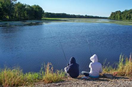
Popular activities include fishing, hiking, hunting, biking and boating. Common fish species include the channel catfish, bluegill, walleye, large mouth bass, and northern pike. The Central Trail section of the famous Mississippi River Trail passes beside the campground, offering visitors miles of walking and biking trails along the river bank.

Facilities

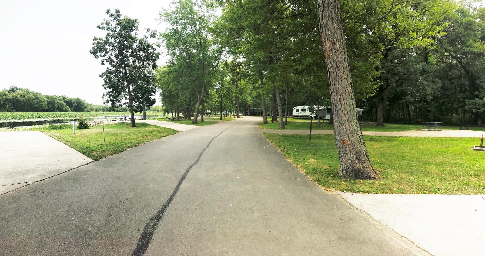
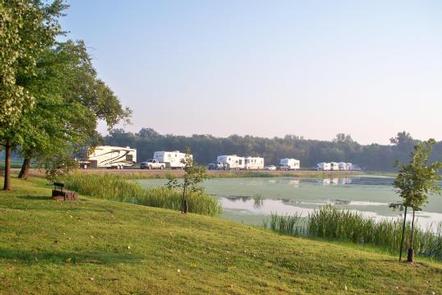
Of the 125 reservable campsites, 120 have electric hookups and 5 campsites do not have electric hookups and are for tents only. Thomson Causeway provides the comforts of modern camping, including drinking water, an accessible flush toilet, electrical hookups, shower house and boat ramp, while still providing visitors with an authentic outdoor experience.  This park also offers 2 reservable picnic shelters for day use.

Natural Features

The campground is built mainly on an island in the backwaters of the Mississippi River. Slow moving water on the eastern edge of the main recreation area creates a rich environment in which wildlife and fish abound.

Nearby Attractions

Head northbound along the river to see the Ayers Sand Prairie State Nature Preserve or the Mississippi Palisades State Park.

Visit the Ingersoll Wetlands Learning Center and Fulton’s Dutch Windmill. Or watch a minor league baseball game at the Clinton Lumberkings stadium.

Reservation

More from CampingHiking.net:

LAKELAND PAVILION, Texas Campground Images, Info & Reservations

Listen Directions While traveling East on US Highway 380, turn right (South) on State Highway 78 at Farmersville. Go South about 4 miles to CR 550. Turn right on CR 550 and continue about 2 miles to the entrance of the park. The pavilion is inside Lakeland Park. Phone 972-442-3141

RUJADA CAMPGROUND, Oregon Campground Images, Info & Reservations

Listen Directions From Cottage Grove, take exit 174 on Interstate 5, then take Row River Road #2400 east 19 miles to Layng Creek Road #17. Turn left (northeast) on Road #17 and continue for 2 miles until you reach Rujada Campground, located on the right, across Layng Creek. Phone 541-767-5000

LAKE IRWIN, Colorado Campground Images, Info & Reservations

Listen Directions From Gunnison, take Colorado Highway 135 north 28 miles to Crested Butte. Turn left on Gunnison County Road 12. Proceed 7 miles. Turn right on Forest Road 826 and follow signs to the campground. Phone 970-349-6348 Activities BIKING, BOATING, CAMPING, FISHING, HIKING Keywords LAKI,GUNNISON,GM,UNCOMP NF – FS Related

INDIAN HENRY, Oregon Campground Images, Info & Reservations

Listen Directions From Estacada, Oregon, travel east on Highway 224 for 24 miles to the campground. Phone 503-630-5721 Activities CAMPING, FISHING, HIKING, WATER SPORTS, DAY USE AREA Keywords INDH,MT. HOOD NF – FS Related Link(s) Rec Area Info & Images Oregon State Tourism Forest Service Concessionaire Oregon State Road Conditions

PLATORO CABIN 1, Colorado Campground Images, Info & Reservations

Listen Directions From Antonito, CO, follow Highway 17 west to its junction with FSR 250. Follow FSR 250 northwest up the Conejos Canyon about 22 miles to Platoro. Turn left on FSR 250.6A and follow it 0.2 mile to the cabin. From the town of South Fork, follow Highway 160