
Directions
From Escalante, Utah, drive 2.5 miles west on Highway 12, then turn right at the North Creek Lakes sign and right again at the Barker Recreation Area sign, onto Forest Road 149. Drive approximately 16 miles on FR 149. The last 3.4 miles of FR 149 are steep and single-lane with switchbacks and turnouts.
Phone
435-826-5499
Activities
BIKING, BOATING, CAMPING, FISHING, HIKING, HORSEBACK RIDING, HUNTING, WILDLIFE VIEWING
Keywords
BRKA,THE BARKERS,BARKER RESERVOIR,UPPER BARKER RESERVOIR,LOWER BARKER RESERVOIR,BARKER CAMPGROUND,DIXIE NF – FS
Related Link(s)
Overview
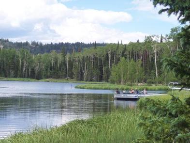
Barker Recreation Area is located high on the Colorado Plateau at an elevation of 9,300 feet. Visitors enjoy canoeing, fishing and exploring local trails.
Recreation
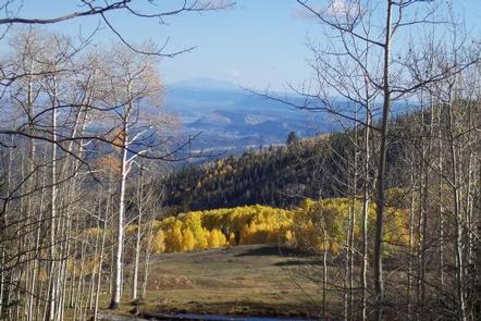
Upper Barker Reservoir provides canoeing, kayaking and fishing for rainbow and brook trout. Numerous hiking, biking and horse trails can be accessed from both the Upper and Lower Barker Reservoir trailheads. Trails, including the non-motorized Great Western Trail, lead to nine backcountry fishing lakes and beautiful mountain views. The area also has excellent stream fishing and spectacular fall colors.
Facilities
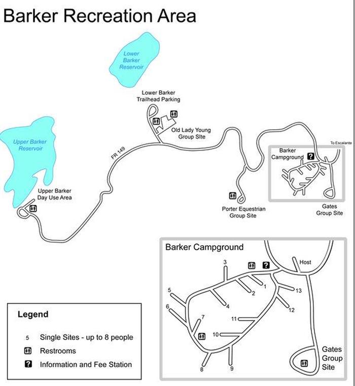
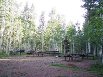
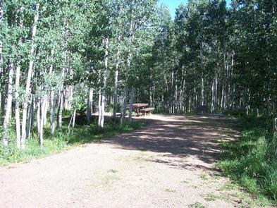
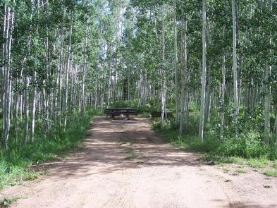
This recreation area contains 13 single-family sites, three group campsites and a day-use area. Horses are permitted in the Porter group site.
Drinking water is provided from Memorial Day through Labor Day. Amenities include accessible vault toilets and bear-proof food storage lockers. Fishing docks are located at Upper and Lower Barker Reservoirs. Roads and parking spurs are gravel.
Natural Features
A dense canopy of aspen and spruce trees forests Barker Recreation Area. Summer wildflowers are plentiful and a variety of wildlife frequents the area, including black bear, blue grouse, golden eagle, ducks and wild turkey.
Nearby Attractions
Both the Grand Staircase-Escalante National Monument and Escalante Petrified Forest State Park are located approximately 45 minutes away. Sightseeing along Utah Highway 12, a National Scenic Byway, is very popular. Travelers visit from every corner of the world to see the stunning red rock canyons and desert landscapes.
Bryce Canyon National Park, Kodachrome Basin State Park and Anasazi State Park are also located in the area.