STODDARD CREEK CAMPGROUND, ID Campground Reservation, Info, Images, Map, Directions

STODDARD CREEK CAMPGROUND, Idaho Campground Images, Info & Reservations

Listen

Directions

From Dubois, Idaho: Travel north on I-15 to the Stoddard Creek Exit (Exit 184). Go west on Stoddard Creek Road (FR 002) for approximately 1 mile to the Stoddard Creek Campground Road (FR 003), then turn left into the campground.

Phone

208-270-0094

Activities

BIKING, CAMPING, FISHING, HIKING, HUNTING, WILDLIFE VIEWING

Keywords

STOD,CARIBOU-TARGHEE NF – FS

Related Link(s)

Rec Area Info & Images

Idaho State Road Conditions

Idaho State Tourism

Overview

Stoddard Creek Campground is located just 1 mile off I-15 and 17 miles north of the town of Dubois, Idaho. Visitors come to the area to enjoy the abundance of trails, wildlife viewing opportunities and scenic beauty.

Recreation

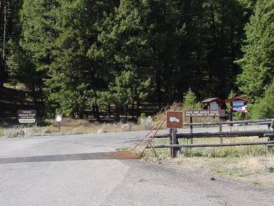
Fishing, hiking, mountain biking, motorcycling and ATV riding are popular activities in the area. The Continental Divide National Scenic Trail can be accessed 8 miles away, where it crosses I-15.
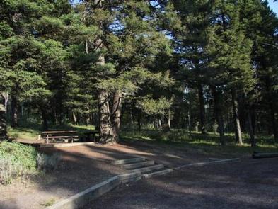
Facilities

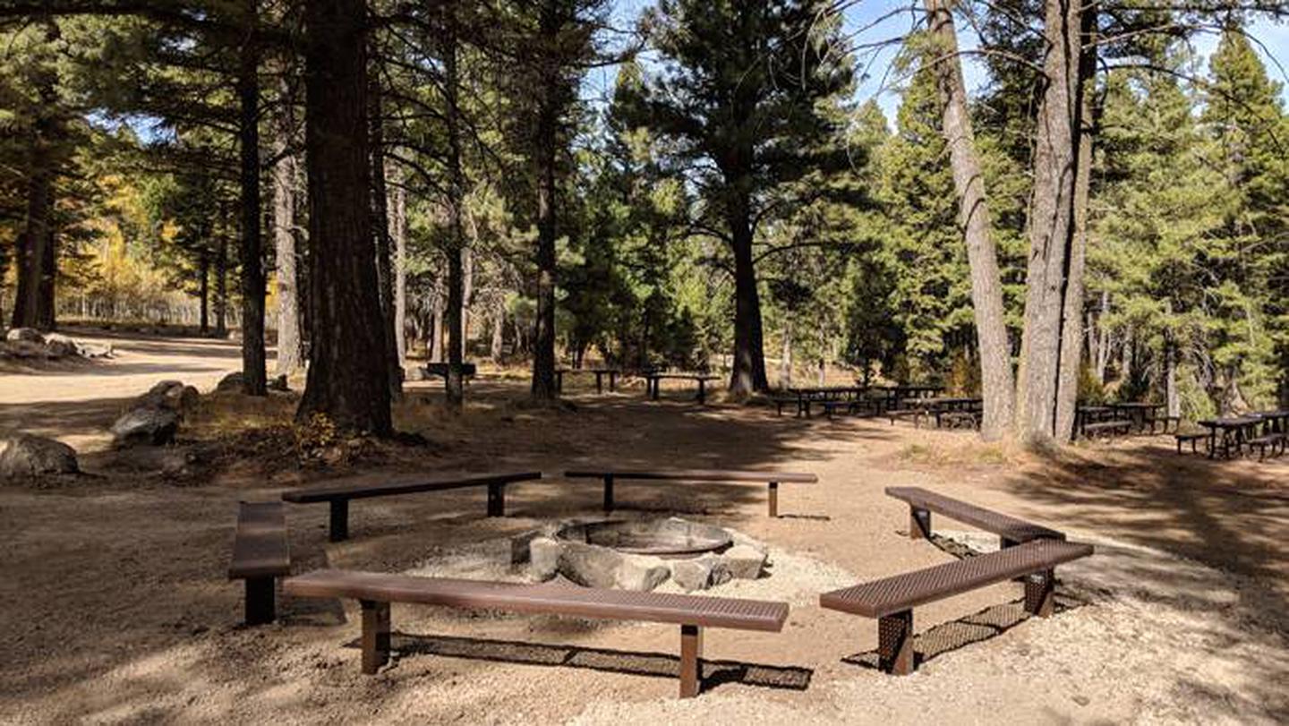
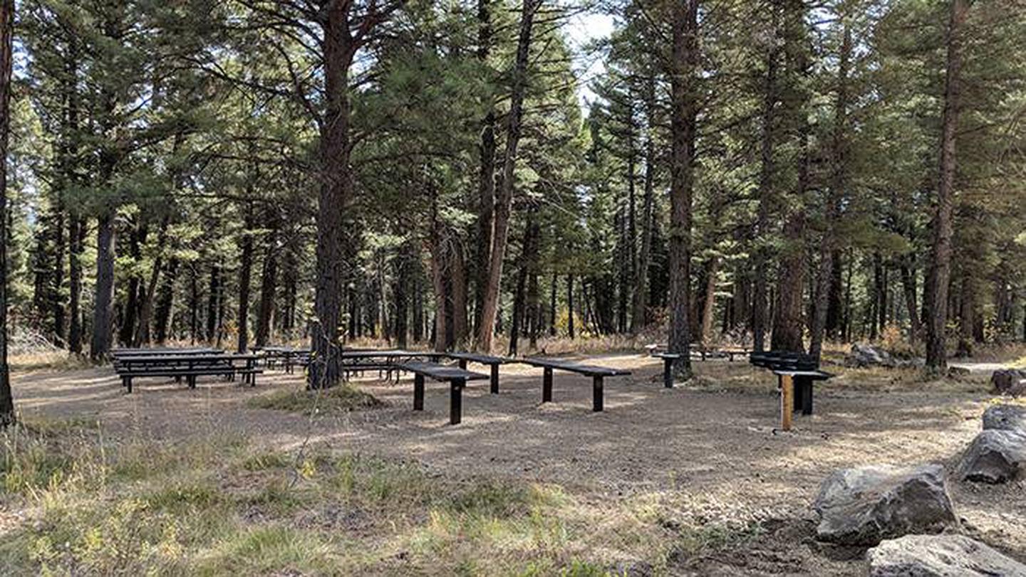
The campground contains one accessible group site that can accommodate up to 50 people. Picnic tables and campfire circles are provided, as are vault toilets, drinking water and trash collection. A campground host is on-site. PLEASE NOTE: The Group Site (currently designated 008) will be relocated to the NEW group area beginning the 2019 season. ALL reservations made for the OLD group site (008) will be transferred to the NEW group area.

Natural Features

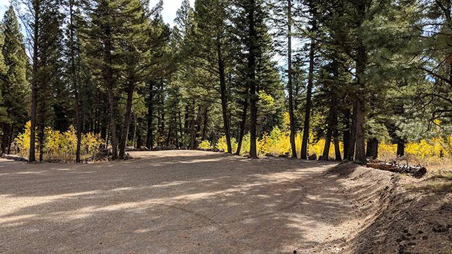
The campground is situated in a Douglas fir and aspen forest. Stoddard Creek runs just below the site. The campground is approximately 11 miles south of the Idaho-Montana border via Monida Pass on the Continental Divide.

Nearby Attractions

Phone, gas and groceries are 5 miles away in Spencer, Idaho or 17 miles away in Dubois.

Reservation

More from CampingHiking.net:

ARROYO SECO, California Campground Images, Info & Reservations

Listen Directions Coming from the south on Highway 101 to Greenfield, take the first exit (Arroyo Seco) into town. Turn left on Elm Street and go west to Arroyo Seco Road and turn left. Arroyo Seco Road dead-ends at the campground. Coming from the north on Highway 101, just past

TRAILS END CAMPGROUND, Minnesota Campground Images, Info & Reservations

Listen Directions From Grand Marais, Minnesota, take Gunflint Trail (County Road 12) 57 miles north. Gunflint Trail ends at Trail’s End Campground. Phone (218)388-2212 Activities BOATING, CAMPING, FISHING, HIKING Keywords TRAE,SUPERIOR NATIONAL FOREST,Saganaga Lake,Seagull Lake,Way of the Wilderness,SUPERIOR NF – FS Related Link(s) Rec Area Info & Images Minnesota State

NORDHEIMER GROUP SITES, California Campground Images, Info & Reservations

Listen Directions From Highway 96, turn onto Salmon River Road/Forest Highway 93 and continue about 13 miles to the campground. Phone 530-627-3291 Activities BIKING, BOATING, CAMPING, FISHING, HIKING, SWIMMING SITE Keywords NORD,Crystal Springs Group Sites,SIX RIVERS NF -FS Related Link(s) Rec Area Info & Images California State Tourism California State

CAROLINA HEMLOCKS REC AREA, North Carolina Campground Images, Info & Reservations

Listen Directions From Asheville, North Carolina, take I-26 west to exit 9, onto 19 east toward Burnsville. Follow 19 to Micaville and turn right onto Highway 80. Follow 80 south approximately 8 miles to the Carolina Hemlocks Recreation Area. Phone 828-675-5509 Activities BIKING, CLIMBING, CAMPING, INTERPRETIVE PROGRAMS, FISHING, HIKING, PICNICKING,