

Directions
The facility is located along Hwy 276 (Forest Heritage National Scenic Byway) approximately 1 mile from the intersection of Hwy 280 and US 64 in Pisgah Forest, NC, and approximately 15 miles from the Blue Ridge Parkway.
Phone
828-877-3265
Activities
CAMPING, FISHING, WATER SPORTS
Keywords
Related Link(s)
North Carolina State Road Conditions
Overview
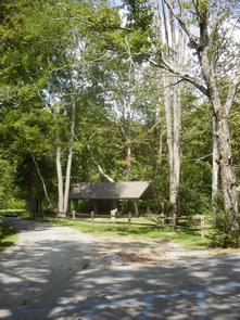
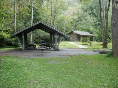
Sycamore Flats Picnic Shelter is located along the Davidson River on the Pisgah National Forest. This picnic area was named for the sycamore trees which line the banks of the river.
Recreation
Sycamore Flats Picnic Area offers excellent swimming and wading, trout fishing, and tubing opportunities on the Davidson River. There is an accessible fishing pier.
Facilities
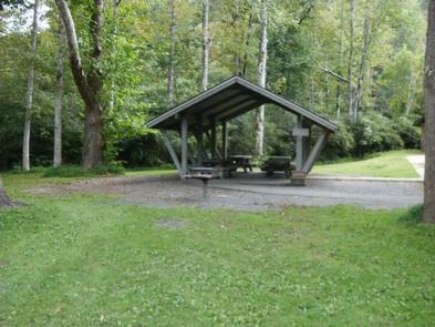
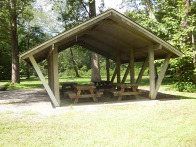
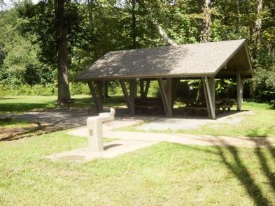
This large picnic area has 40 picnic tables with grills nearby. The reservable shelter has four picnic tables for use, plus one grill. There are two restrooms available; one is wheelchair accessible.There is a large, open field beside the picnic shelter for games and fun.
Natural Features
Sycamore Flats is a beautiful, shaded picnic area that sits in the bend of the Davidson River. This picnic area is surrounded by lush hardwood forest and rhododendron.
Nearby Attractions
Pisgah National Forest offers nearly 400 miles of trails — many are for biking, hiking and several for equestrian use. Throughout the area, visitors will discover the many beautiful waterfalls the forest is known for. Pisgah Visitor Center is just 1.5 miles up on Hwy 276 from the Sycamore Flats Picnic Shelter and offers interpretive displays, a gift shop, and a wealth of information and maps. Further up Hwy 276 is the birthplace of forestry in America–The Cradle of Forestry. Nearby is the Pisgah Fish Hatchery and Pisgah Center for Wildlife Education.