
Directions
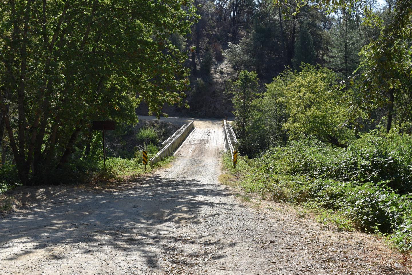
From Redding, CA, drive 10 miles west on Highway 299. Turn left on Kennedy Memorial Drive and follow it for 1.6 miles to Paige Bar Road. Turn left onto Paige Bar Road at the dam and drive 1.2 miles to Peltier Valley Road. Turn right and follow Peltier Valley Road .7 mile to the campground.
Phone
530-242-3412
Activities
BIKING, BOATING, CAMPING, FISHING, HIKING
Keywords
Related Link(s)
California State Road Conditions
Overview
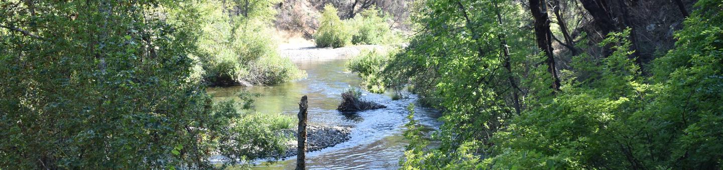
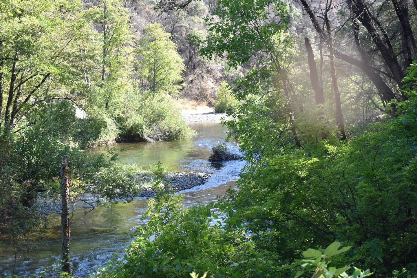
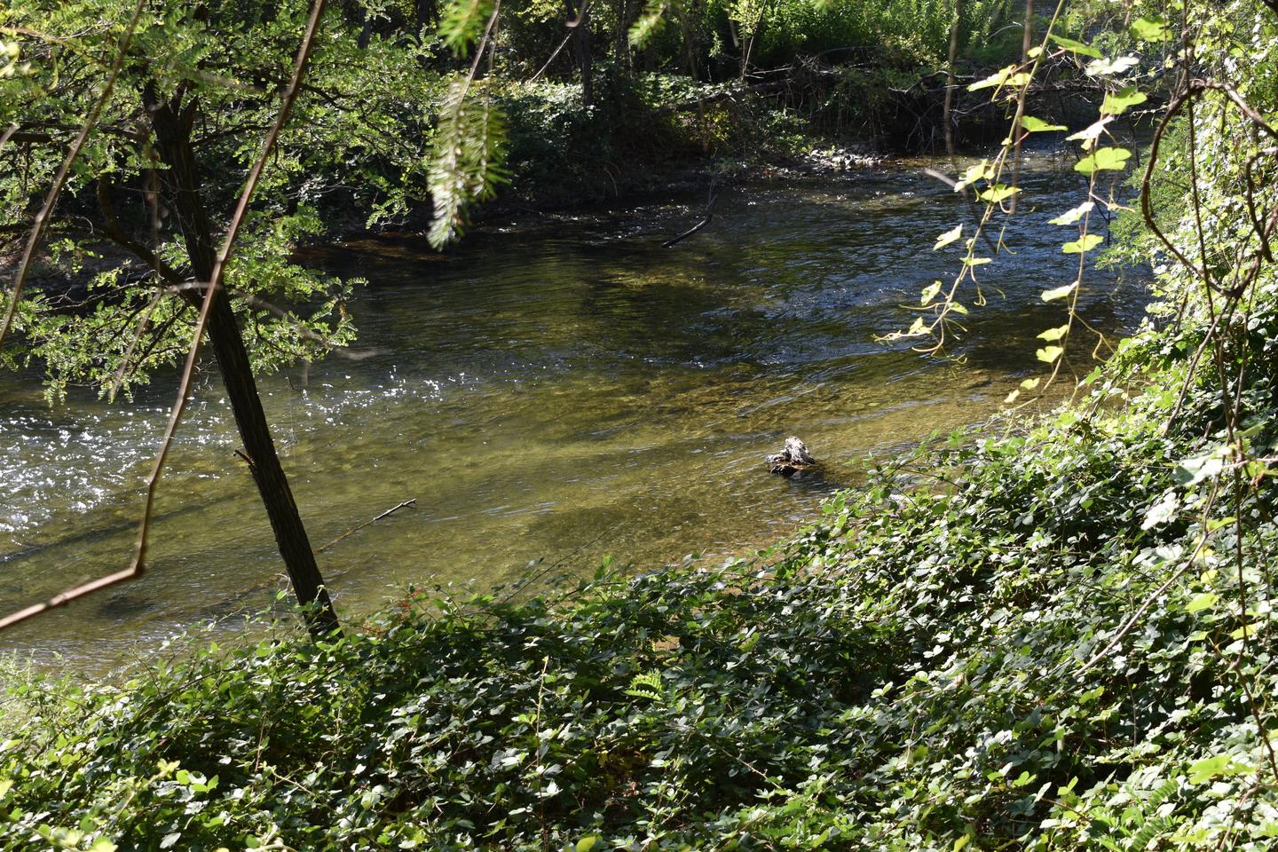
This tent-only campground is located in the southeast corner of Whiskeytown National Recreation Area, 13.5 miles west of Redding, California, and three and a half hours north of Sacramento. Clear Creek flows past the campground, making it a popular spot for fly fishing. The camp is shaded by alders and large canyon live oaks.
The cool, clear waters of Whiskeytown Lake provide endless water activities. The picturesque mountain setting and extensive forested backcountry offer ample opportunities for hiking and biking.
Recreation
During the summer heat, swimming, kayaking, sailing, paddle boarding and water skiing are popular on the 3,200 acre lake. Year round, hiking, mountain biking, horseback riding, gold panning, fishing and picnicking attract visitors. Hunting is allowed in the appropriate season.
Facilities
Peltier Bridge is a tent-only campground. Each campsite is equipped with a picnic table, a large bear-resistant storage locker, a metal fire pit with a swing-arm barbecue grill, and a lamp pole. The campsites share two vault toilets. For campsites 1, 2 and 3, park and walk approximately 25-35 feet to your site. Drinking water and electricity are not available.
Due to a small parking area, towing vehicles is prohibited in this campground. This includes vehicles towing trailers and fifth wheels and vehicles towing pop-up campers. Motorhomes are not allowed in this campground. No overflow parking is available.
Natural Features
Tall trees providing cooling shade make Peltier Bridge Primitive Campground a relaxing retreat.
Whiskeytown National Recreation Area is located where the Klamath Mountains, Cascade and Coast Mountain Ranges, and the Sacramento Valley meet, creating a wide variety of wildlife and landscapes.
Nearby Attractions
Brandy Creek Beach is located three and a half miles from the campground and features sandy beaches, a large swimming area, picnicking and barbecuing facilities. From Memorial Day through Labor Day, there are showers, a store with food and supplies and rentals of paddle boards and kayaks.