Directions
From Dayville, Oregon: Turn south on South Fork Road; the back country byway begins here.
Phone
541-416-6700
Activities
AUTO TOURING, HIKING, HUNTING, WILDLIFE VIEWING, PHOTOGRAPHY
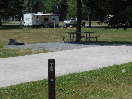
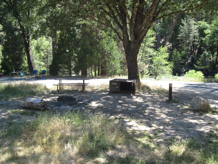
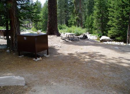
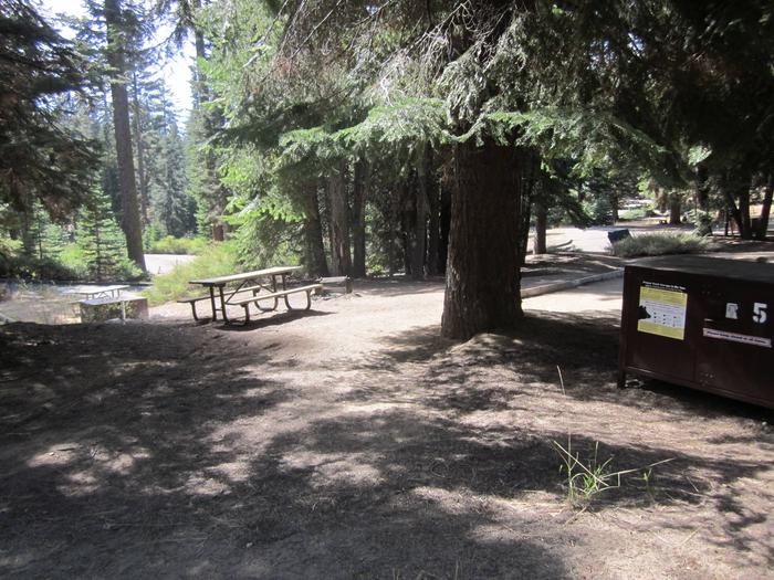
Camping Reservations
Reserve your campsite at these camping areas:
Hiking Trails
Looking for nice hiking areas to take a hike? Choose from these scenic hiking trails:
Related Link(s)
Flickr Album: South Fork John Day Wild and Scenic River
Learn more about the South Fork John Day Wild and Scenic River
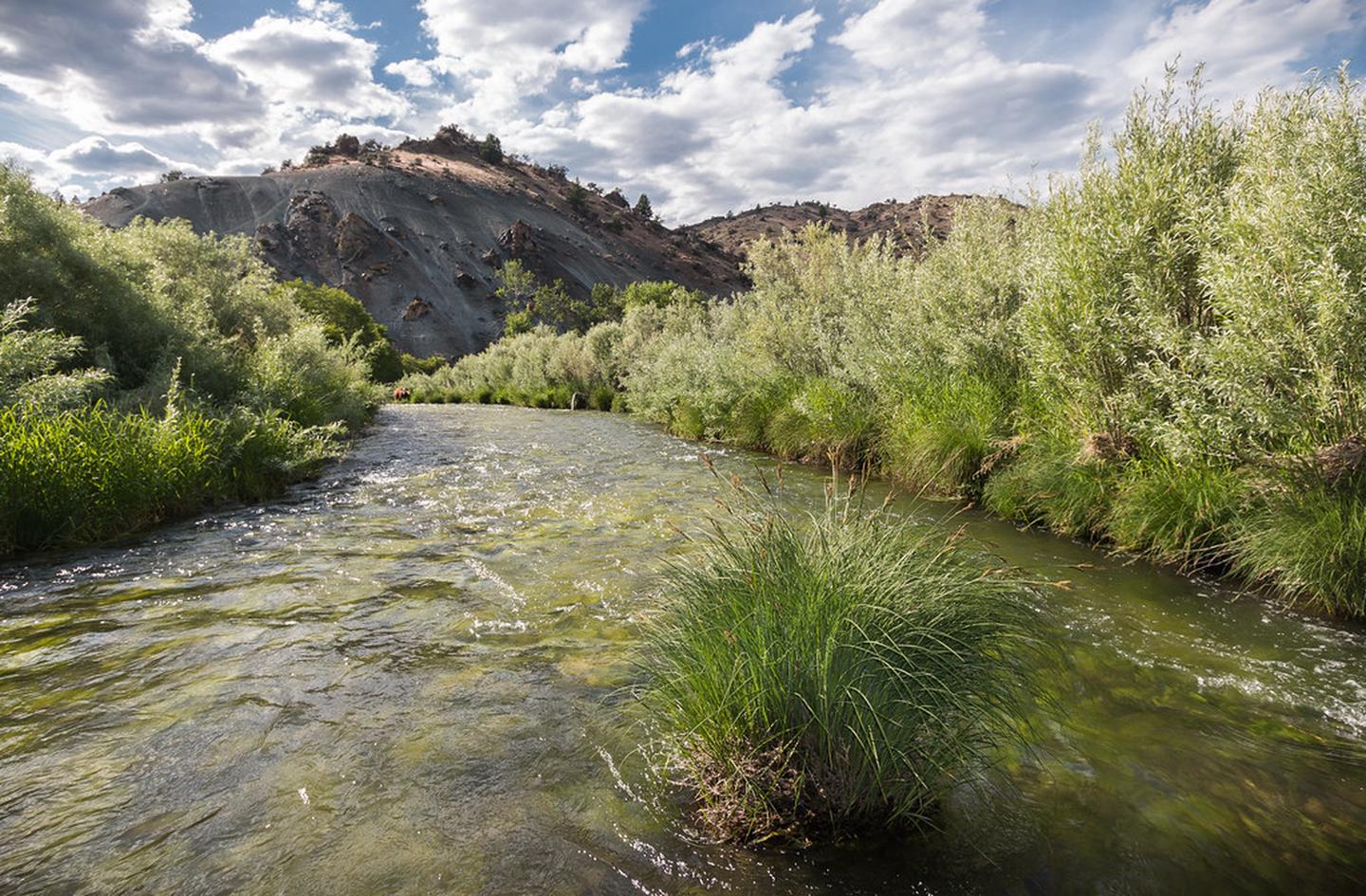
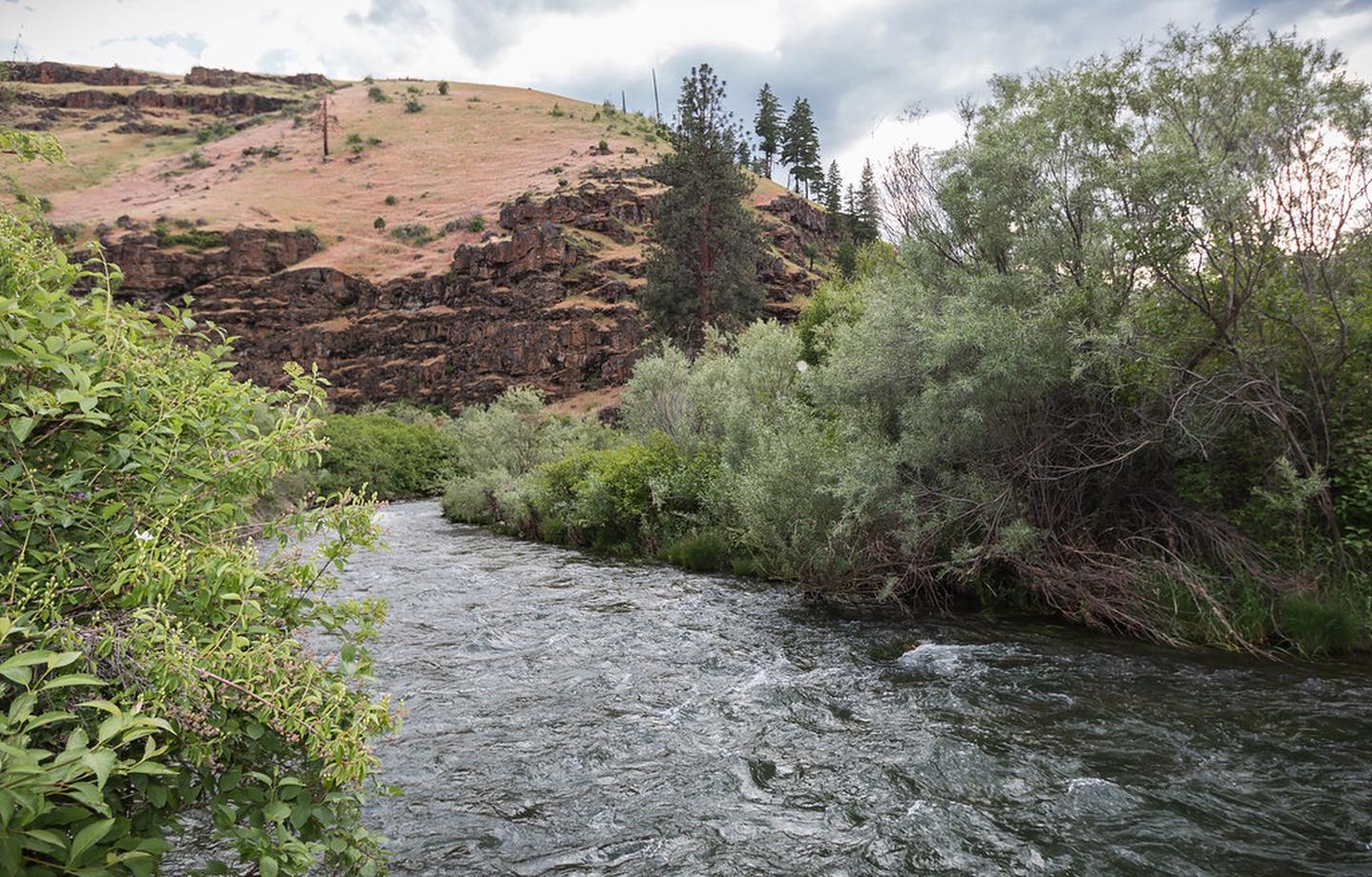
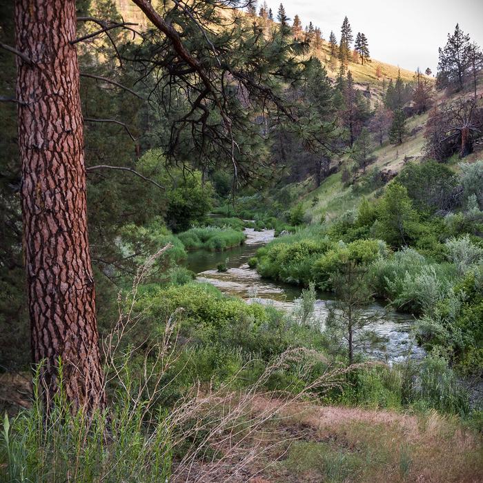
South Fork John Day River Back Country Byway
This gravelled Back Country Byway parallels the Wild and Scenic South Fork John Day River through its incised canyon for a distance of 50 miles from its northern terminus at Dayville to the northern border of Malheur National Forest to the south. This drive takes visitors through deep canyons of Columbia River Basalts, through stands of old growth ponderosa pines, Douglas and white fir, and willows that line the road. The river itself contains beautiful rapids and the Izee Falls, which drops 56 feet vertically.
Along the way, you™ll pass the Aldrich Mountain Wilderness Study Area as well as the Black Canyon Wilderness, two areas with ample opportunities for hiking, hunting and wildlife viewing. The Murderer’s Creek area has plentiful wildlife, including deer, elk, black bear, coyotes, bighorn sheep, and upland birds.
Know Before You Go:
- This high-standard gravel road is suitable for most passenger vehicles; however, know that some stretches of this road are single-vehicle width.
- No developed recreation facilities exist along this route but dispersed camping opportunities abound. Nine miles south of Dayville, the Black Canyon East Trailhead offers hiking access into the Black Canyon Wilderness.
- Cell phone service is not available along this back country byway.
Point of Interest:
For people who like to learn about the past, you can drive by the historic Rockpile Ranch. This private ranch was established in the late 19th century and is still in operation today. Also, there is a small two-room schoolhouse located in Izee, about 34 miles upstream from Dayville. The school was used until 1989, when it closed its doors to students. Now it is used for community functions.