Directions
From Sulphur, OK, drive 10 miles south on State Highway 177.
Phone
580-622-3165
Activities
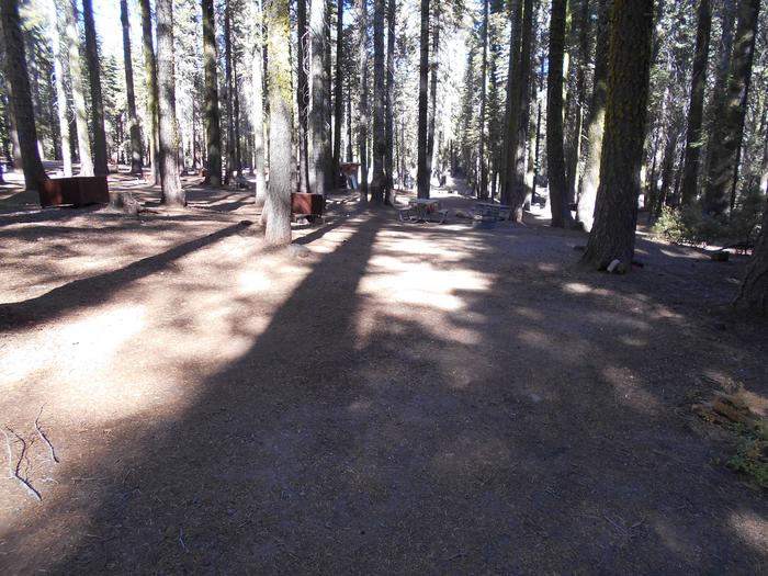
BOATING, CAMPING, FISHING, HIKING, HUNTING, PICNICKING, RECREATIONAL VEHICLES, WATER SPORTS, WILDLIFE VIEWING
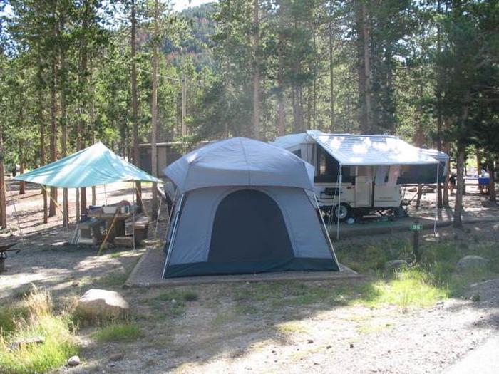
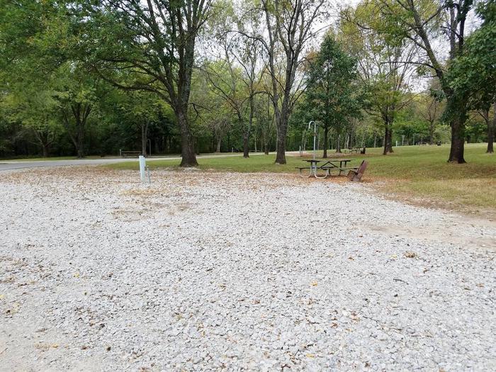
Camping Reservations
Reserve your campsite at these camping areas:
Hiking Trails
Looking for nice hiking areas to take a hike? Choose from these scenic hiking trails:
Related Link(s)
More Oklahoma Recreation Areas
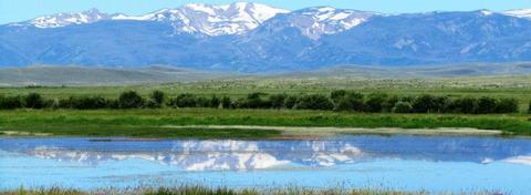
Lake of the Arbuckles is forned by Arbuckle Dam which is a feature of the Arbuckle Project. The lake is located at the confluence of the Buckhorn, Guy Sandy, and Rock Creeks. The area presents unusual opportunities, combining recreational use with scenic, scientific, and historic values. The Arbuckle Mountains are the highest part of a large area of Precambrian granites and overlying sedimentary strata that were uplifted and deformed some 300 million years ago. Subsequent erosion has exposed features which make the area an outstanding laboratory for students of geology.The Lake is one of the best fishing lakes in Oklahoma for catfish, crappie, largemouth bass, white bass, and bluegill. There are 36 miles of shoreline and 2,300 acres of open water. Fishing is permitted year round. The wildlife area is a habitat for turkey, deer, and small game birds. There are several boat ramps and camping facilities. The Arbuckle Project regulates flows of Rock Creek, a tributary of the Washita River in south-central Oklahoma.