Directions
From Golden Gate Bridge, north 3 miles on US 101 to Sausalito/Marin City exit, then Bridgeway to Harbor Drive, turn left, then right onto Marinship Way and follow signs to the Visitor Center.
Phone
(415) 332-3871
Activities
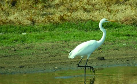
BOATING, HISTORIC & CULTURAL SITE, FISHING, PICNICKING, VISITOR CENTER, WATER SPORTS, WILDLIFE VIEWING
Camping Reservations
Reserve your campsite at these camping areas:
Hiking Trails
Looking for nice hiking areas to take a hike? Choose from these scenic hiking trails:
Related Link(s)
More California Recreation Areas
S F Bay Model Regional Visitor Center Photo Album
S F Bay Model Regional Visitor Center Website
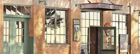
The Bay Model was built in 1957 as a research tool to test the impact of proposed changes to San Francisco Bay and its related waterways. The model has been used to study the effects of chemical/oil spills, altering of shipping channels, levee failures, and bay in-filling. The hydraulic model was used to simulate currents, tidal action, sediment movement and the mixing of fresh and salt water. In 1980 the visitor center portion was added, and the Model adopted the function of an Educational Center for learning about the geography, ecology and natural history of the bay and delta areas. Although today no active research takes place using the actual model, the facility still remains open to the public and the visitor center still serves as a public education center.