Directions
The south boundary is located 14 miles northeast of Mount Pleasant, South Carolina. The north boundary is 5 miles east of McClellanville, South Carolina. The wilderness lies east of the Intracoastal Waterway. The Refuge is bordered by Capers Island to the south and Murphy Island to the north, both S.C. Department of Natural Resources protected lands. To the west of the Intracoastal Waterway lies the Francis Marion National Forest.
The Cape Romaine Refuge headquarters is located at 5801 Highway 17 North Awendaw, SC 29429.
The Sewee Visitor and Environmental Education Center is located at 5821 U.S. 17, Awendaw, SC 29429.
Phone
(843) 928-3264
Activities
WILDERNESS
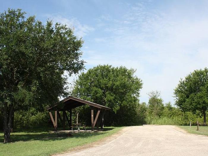
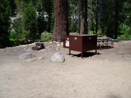
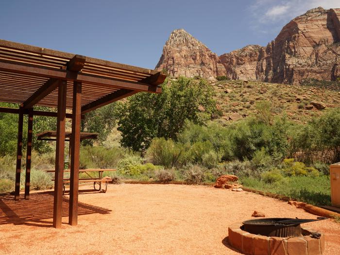
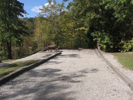
Camping Reservations
Reserve your campsite at these camping areas:
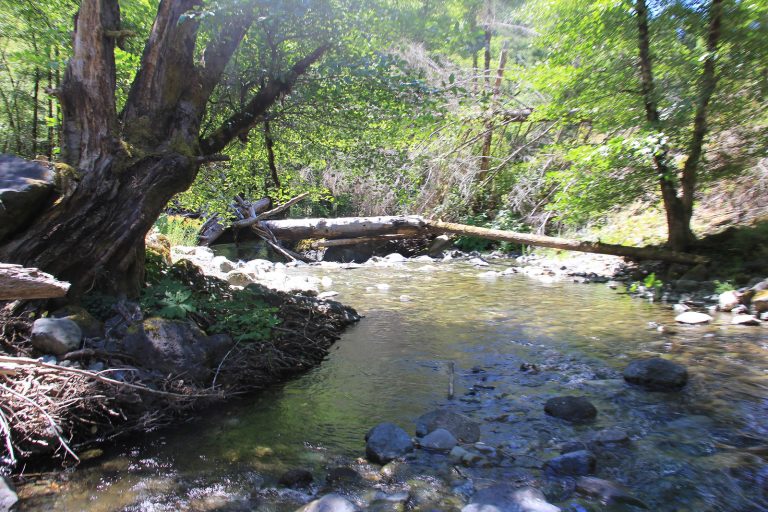
Hiking Trails
Looking for nice hiking areas to take a hike? Choose from these scenic hiking trails:
Related Link(s)
More South Carolina Recreation Areas
The Cape Romain Wilderness now contains a total of 29,000 acres and is managed by the Fish & Wildlife Service’s Cape Romain National Wildlife Refuge. All of the Wilderness is in the state of South Carolina. In 1975 the Cape Romain Wilderness became part of the now over 110 million acre National Wilderness Preservation System.
For 22 miles, the Cape Romain National Wildlife Refuge stretches wild and free along the coastline of South Carolina, protecting sanctuaries of open water, sandy beaches, saltwater marshes, and tens of thousands of water-loving birds. No other place on the Atlantic coast attracts as many oystercatchers during winter. Waiting patiently until an oyster opens up, these splendid black and white birds strike suddenly, using their long red beaks to rip at the oyster’s muscle. Here in summer you’ll find thousands of terns and brown pelicans, and black skimmers flying with their black and red bills gaping to skim food from the surface of the ocean and estuaries. Hundreds of herons and egrets pace on long legs looking for food, and the beaches stir under the feet of godwits, whimbrels, and dowitchers. In the marshes, the clapper rails, sometimes more than 25,000 of them, fill the air with their strange clattering. Colorful songbirds migrate through in spring, joining year-round residents such as flickers and yellow-throated warblers.
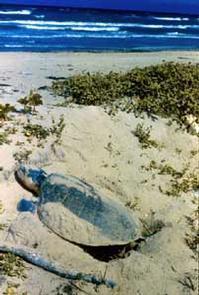
Loggerhead sea turtles lay more eggs in these beaches than anywhere else along South Carolina’s coast. Don’t be surprised if you miss them, since they most often choose the night, when the refuge is closed, to drag their great broad backs from the ocean.
Two historic lighthouses, built in 1827 and 1857, stand as sentinels on Lighthouse Island. No longer operational, they serve as daytime landmarks for recreational boaters. Four public tours are offered annually to Lighthouse Island. Sea kayaking is the best way to see Cape Romain. Overnight camping and campfires are prohibited. Most of the refuge has been designated Wilderness.