Directions
The Refuge is located about 10 miles from Montpelier. To get to the Refuge from Montpelier, take Hwy 89 south for about 3 miles and turn left onto a gravel road. This turnoff is marked with brown informational signs. Continue straight for about 5 miles until you see the refuge entrance sign. Continue straight for 2 more miles, bearing left at the “Y” to access the Auto Tour Route. From the south, head north on Hwy 89 and turn right at the brown informational signs in Paris (E 2nd N Street). Travel on this gravel road for about 3 miles and the refuge entrance will be immediately to your right once you cross the Outlet Canal bridge.
The Refuge manager is stationed on the US Forest Service side of the National California-Oregon Trail Center located at 322 North 4th St. in Montpelier, Idaho.
Phone
208-237-6615
Activities
AUTO TOURING, BOATING, FISHING, HUNTING
Camping Reservations
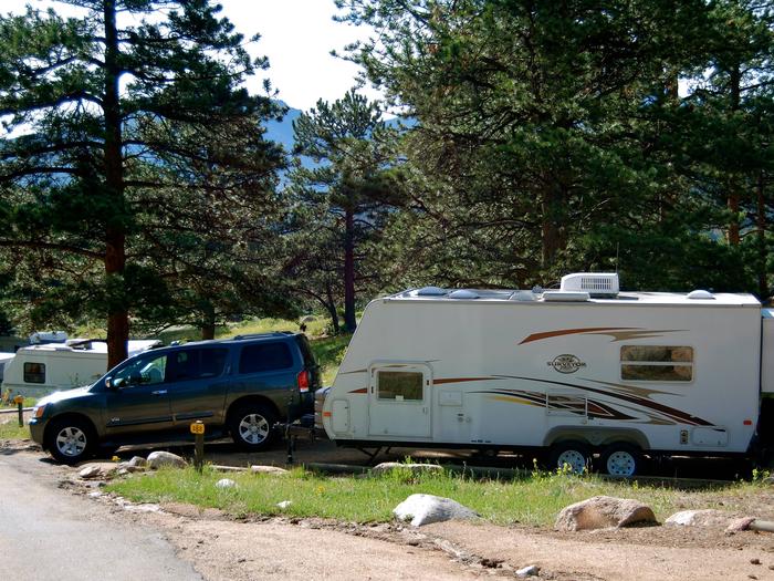
Reserve your campsite at these camping areas:
Hiking Trails
Looking for nice hiking areas to take a hike? Choose from these scenic hiking trails:
Related Link(s)
Bear Lake National Wildlife Refuge
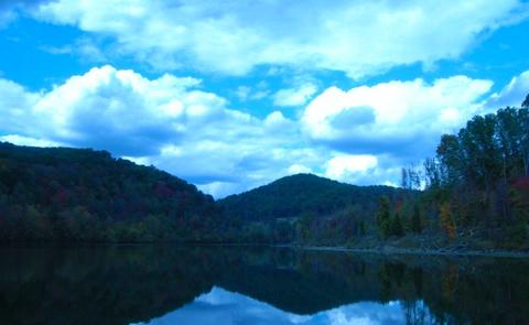
Bear Lake Refuge is located in southeast Idaho, seven miles south of Montpelier. Surrounded by mountains, it lies in Bear Lake Valley at an elevation ranging from 5,925 feet on the marsh to 6,800 feet on the rocky slopes of Merkley Mountain. The refuge office is located in Montpelier.
The 19,000 acre refuge is comprised mainly of a bulrush marsh, open water, and flooded meadows of sedges, rushes, and grasses. Portions of the refuge include scattered grasslands and brush-covered slopes.
Bear Lake Refuge encompasses what is locally referred to as Dingle Swamp or Dingle Marsh. Along with Bear Lake proper, the marsh was once part of a larger prehistoric lake that filled the valley. As it drained and receded, Dingle Marsh was reduced from 25,000 acres to less than 17,000 before it became part of the refuge.


