Directions
From the north (Socorro, NM), drive nine miles south on I-25 to exit 139, go east one-fourth mile on US 380 to the flashing signal at the village of San Antonio, turn right onto Old Highway 1, and drive south nine miles to the Visitor Center.
From the south (Las Cruces, NM), drive north on I-25 to exit 124 (San Marcial), go east on the dirt road 1.5 miles, then north on Old Highway 1 to the visitor center.
Phone
505-835-1828
Activities
AUTO TOURING, BIKING, INTERPRETIVE PROGRAMS, FISHING, HIKING, HUNTING, VISITOR CENTER, WILDLIFE VIEWING, ENVIRONMENTAL EDUCATION, PHOTOGRAPHY
Camping Reservations
Reserve your campsite at these camping areas:
Hiking Trails
Looking for nice hiking areas to take a hike? Choose from these scenic hiking trails:
Related Link(s)
More New Mexico Recreation Areas
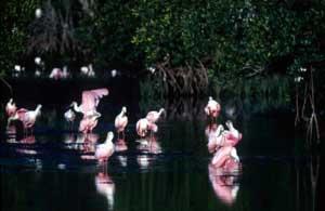
Bosque Del Apache National Wildlife Refuge
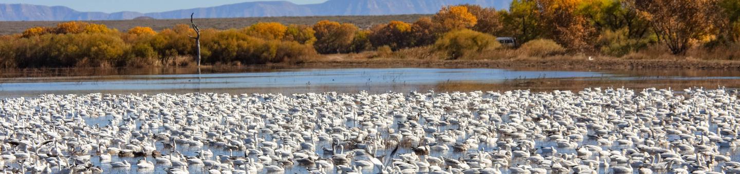
Established in 1939 to provide a critical stopover for migrating waterfowl, the refuge is well known for the thousands of sandhill cranes, geese and other waterfowl that winter here each year.
Situated between the Chupadera Mountains to the west and the San Pascual Mountains to the east, the 57,331-acre refuge harbors a wild stretch of the Rio Grande, a ribbon of cottonwood and willow trees visible on the landscape from distant mesas.
Petroglyphs tell the story of an ancient people that lived and hunted here. The river and its diversity of wildlife have drawn humans to this area for at least 11,000 years when humans migrated along this corridor, sometimes settling to hunt, fish and farm. Artifacts and stone tools found nearby tell us that nomadic paleoindian hunters pursued herds of mammoth and bison in the valley.
Today, Bosque del Apache is part of the National Wildlife Refuge System, a national network of lands and waters set aside and managed for the benefit of wildlife, habitat and you.