Directions
Take exit 36 (highway 397 south) off of Interstate 10 east of Lake Charles, Louisiana. Follow highway 397 south 8 miles. Turn left at the stop sign on highway 14. Follow highway 14 to Holmwood, Louisiana. Where highway 14 turns left continue straight onto highway 27. From this point the refuge headquarters is located 11 miles south on the right hand side.
Phone
337-598-2216
Activities
AUTO TOURING, BOATING, INTERPRETIVE PROGRAMS, FISHING, HUNTING, VISITOR CENTER, WILDLIFE VIEWING, PHOTOGRAPHY, PADDLING
Camping Reservations
Reserve your campsite at these camping areas:
Hiking Trails
Looking for nice hiking areas to take a hike? Choose from these scenic hiking trails:
Related Link(s)
More Louisiana Recreation Areas
Cameron Prairie National Wildlife Refuge
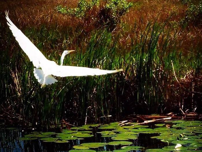
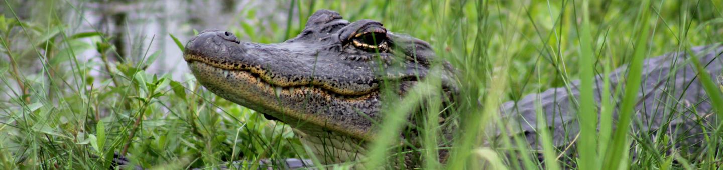
Cameron Prairie National Wildlife Refuge was established to preserve and protect wintering waterfowl and their habitat. It was the first refuge established under the auspices of the North American Waterfowl Management Plan. The refuge is located approximately 25 miles southeast of Lake Charles, Louisiana, in north central Cameron Parish. It contains 9,621 acres that include fresh marsh, coastal prairie, and old rice fields (currently moist soil units). Located at the convergence of two major flyways, the refuge has an important role in management for migratory birds.
Approximately 30,000 people visit the refuge annually. The visitor center, exhibits, and auto-tour route are the primary attractions for the visiting public. The refuge is an integral part of the Creole Nature Trail All American Road.