Directions
Via State Highway 190 through Panamint Valley approximately 30 miles east of Olancha and along the road into Darwin or down the Darwin Canyon Road.
Phone
(760) 384-5400
Activities
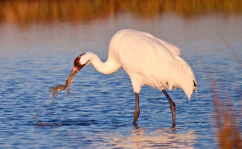
CAMPING, HIKING, HORSEBACK RIDING, HUNTING, WILDLIFE VIEWING, WILDERNESS, PHOTOGRAPHY
Camping Reservations
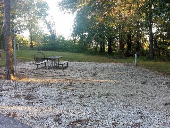
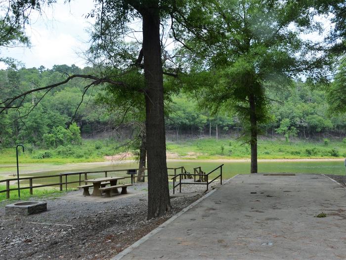
Reserve your campsite at these camping areas:
Hiking Trails
Looking for nice hiking areas to take a hike? Choose from these scenic hiking trails:
Related Link(s)
More California Recreation Areas
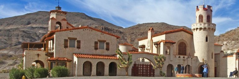
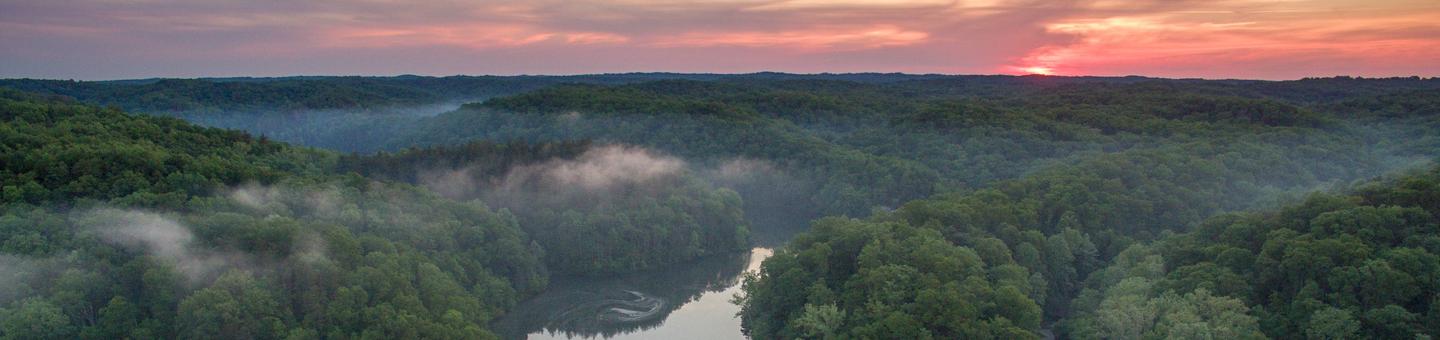
Although this area is named Darwin Falls Wilderness, the falls are actually located within the adjoining Death Valley National Park. The Darwin Plateau and Darwin Hills form the landscape of this wilderness. The plateau, which is cut by numerous shallow depressions and canyons, displays a variety of volcanic rock faces and exposures. Vegetation is typical of a creosote bush scrub community with Joshua tree woodland at higher elevations. Wildlife species include nesting and foraging habitat for prairie falcon.