Directions
This wilderness area is a two-hour drive from metropolitan Phoenix. It can be accessed from the south by exiting Interstate 10 at the Tonopah or Salome Road exits. The Eagle Eye Road south of Aguila provides access from the north. Dirt roads extend to the wilderness boundary from these roads and other unnamed roads nearby. Road conditions vary, and high clearance and four-wheel-drive vehicles are recommended.
Phone
(623) 580-5500
Activities
HIKING, WILDERNESS
Camping Reservations
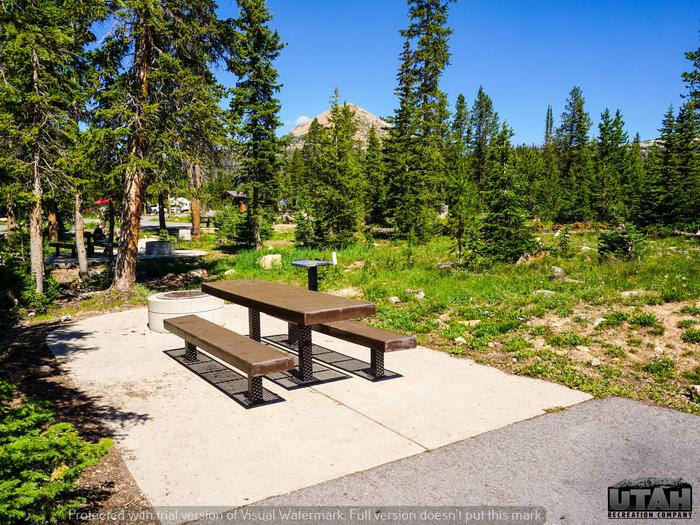
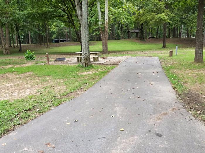
Reserve your campsite at these camping areas:
Hiking Trails
Looking for nice hiking areas to take a hike? Choose from these scenic hiking trails:
Related Link(s)
Hummingbird Springs Wilderness Map
Overview
This 31,200- acre wilderness lies 55 miles west of Phoenix in western Maricopa County. The colorful escarpments of the 3,418-foot-high Sugarloaf Mountain rise steeply from the Tonopah Desert plains giving the wilderness exceptional scenic value, especially noticeable along Interstate Highway 10 south of the area. The Big Horn Mountains Wilderness lies to the southwest, separated only by a jeep trail.
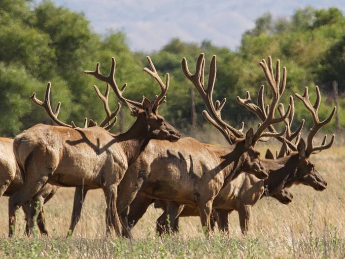
Over eight miles of the eastern Big Horn Mountains cross this wilderness. The area is dominated by Sugarloaf Mountain, a landmark encircled by many lower peaks, hills, washes and bajadas. The complexity and diversity of landforms, desert vegetation and the natural beauty of this wilderness offer a wealth of recreation opportunities for visitors of all ages and abilities. Saguaro, chollas, ocotillos, paloverdes and mesquite abound. Most of the wilderness is habitat for desert bighorn sheep, mule deer and desert tortoise. Cooper’s hawks, prairie falcons, golden eagles, kit foxes and Gila monsters may also be encountered.
Know Before You Go
- Please follow the regulations in place for this area, and use Leave No Trace techniques when visiting to ensure protection of its unique natural and experiential qualities.
- Motorized equipment and equipment used for mechanical transport are generally prohibited on all federal lands designated as wilderness. This includes the use of motor vehicles (including OHVs), motorboats, bicycles, hang gliders, wagons, carts, portage wheels, and the landing of aircraft including helicopters Contact the agency for more information about regulations.
- Some lands around and within the wilderness are not federally administered. Please respect the property rights of the owners and do not cross or use these lands without their permission.