Directions
30 miles west of El Centro, CA. To access this wilderness, exit Interstate 8 at IN-KO-PAH Park and follow Smugglers Cave Road, which winds steeply up the hillside. South of the freeway interchange, four-wheel drive is recommended. The Davies Valley area is also accessible via Interstate 8. Drive south from Ocotillo on State Route S-2 to U.S. Highway 98. Turn east on Highway 98 and drive 0.7 miles south to a BLM sign marking the dirt access road and follow the road to the wilderness boundary.
Phone
760-337-4400
Activities
CLIMBING, CAMPING, HIKING, WILDLIFE VIEWING, WILDERNESS, PHOTOGRAPHY
Camping Reservations
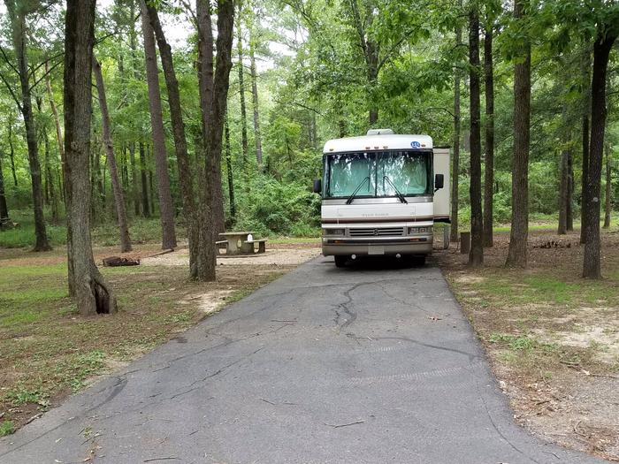
Reserve your campsite at these camping areas:
Hiking Trails
Looking for nice hiking areas to take a hike? Choose from these scenic hiking trails:
Related Link(s)
More California Recreation Areas
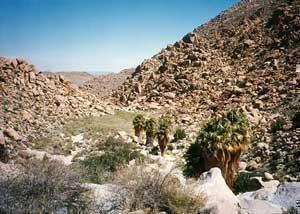
The Jacumba Mountains Wilderness now contains a total of 31,357 acres and is managed by the Bureau of Land Management. All of the Wilderness is in the state of California. In 1994 the Jacumba Wilderness became part of the now over 109 million acre National Wilderness Preservation System. In wilderness, you can enjoy challenging recreational activities and extraordinary opportunities for solitude. In an age of “…increasing population, accompanied by expanding settlement and growing mechanization,…” you play an important role in helping to “…secure for the American people of present and future generations the benefits of an enduring resource of wilderness” as called for by Congress in the Wilderness Act of 1964. Please follow the regulations in place for this area, and use Leave No Trace techniques when visiting to ensure protection of its unique natural and experiential qualities.
How to follow the seven standard Leave No Trace principles differs in different parts of the country (desert vs. Rocky Mountains). Click on any of the principles listed below to learn more about how they apply.
Leave No Trace principles:
- Plan Ahead and Prepare
- Travel and Camp on Durable Surfaces
- Dispose of Waste Properly
- Leave What You Find
- Minimize Campfire Impacts
- Respect Wildlife
- Be Considerate of Other Visitors
Regulations:
Motorized equipment and equipment used for mechanical transport are generally prohibited on all federal lands designated as wilderness. This includes the use of motor vehicles (including OHVs), motorboats, motorized equipment, bicycles, hang gliders, wagons, carts, portage wheels, and the landing of aircraft including helicopters, unless provided for in specific legislation. In a few areas some exceptions allowing the use of motorized equipment or mechanical transport are described in the special regulations in effect for a specific area. Contact the agency for more information about regulations.