Directions
The refuge is located approximately thirty five miles south of Tulsa. Travel on Highway 75 south of Okmulgee approximately six miles to Lavender Road. Turn left onto Lavender Road and follow it until it dead ends (about two miles). Turn left and follow 250 Road approximately two miles. The Refuge Headquarters Building, Cussetah Bottoms Boardwalk, and ample parking will be located on your right.
Phone
918-652-0456
Activities
BOATING, FISHING, HIKING, HUNTING, WILDLIFE VIEWING
Camping Reservations
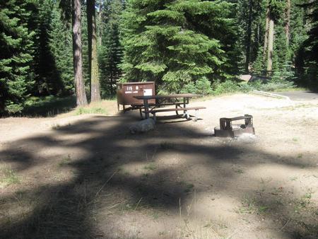
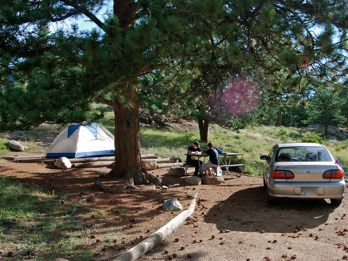
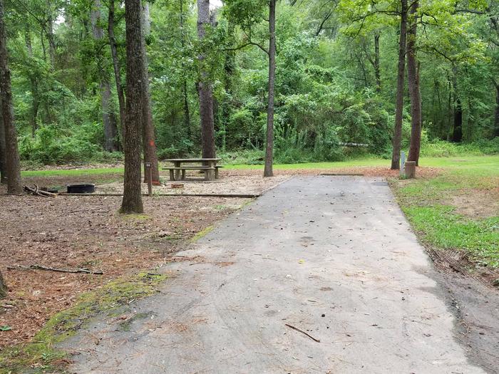
Reserve your campsite at these camping areas:
Hiking Trails
Looking for nice hiking areas to take a hike? Choose from these scenic hiking trails:
Related Link(s)
More Oklahoma Recreation Areas
Deep Fork National Wildlife Refuge
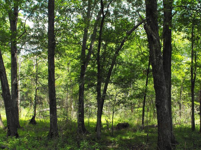
Protecting important wetlands along the Deep Fork River, Deep Fork National Wildlife Refuge in eastern Oklahoma is a newcomer to the National Wildlife Refuge System. Established in 1993, the 8,696-acre refuge is subject to flooding at least once a year. This flooding results in excellent conditions for waterfowl, including mallard, blue-winged teal, shoveler, pintail, and wood ducks.


