
Directions
The Refuge is located about 40 miles south of Columbus, Georgia and 80 miles east of Montgomery, Alabama. Much of the refuge lies within the city limits of Eufaula, Alabama. The headquarters is seven miles north of Eufaula off U.S. Highway 431 on Alabama Highway 285 (also known as Old Alabama State Route 165).
Phone
334-687-4065
Activities
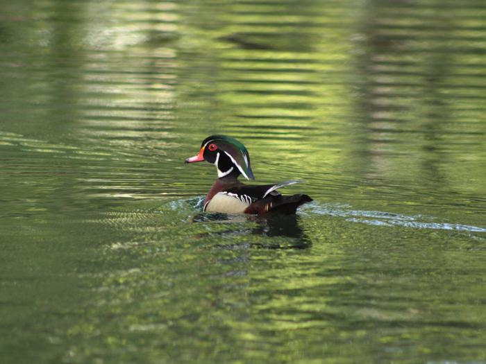
AUTO TOURING, BOATING, INTERPRETIVE PROGRAMS, FISHING, HIKING, HUNTING, WILDLIFE VIEWING
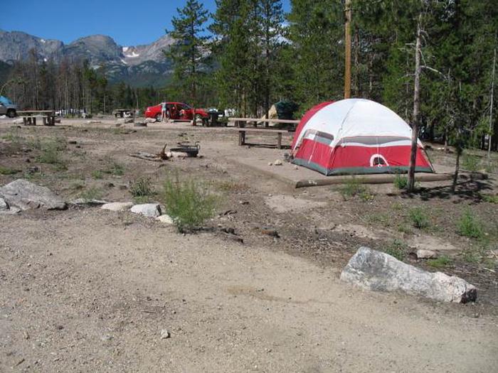
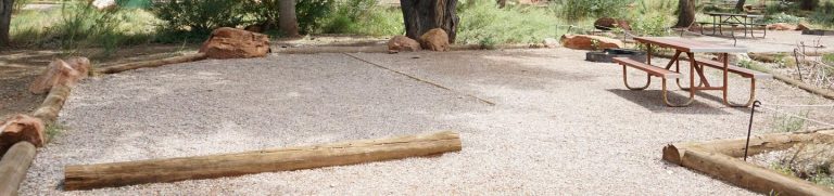
Camping Reservations
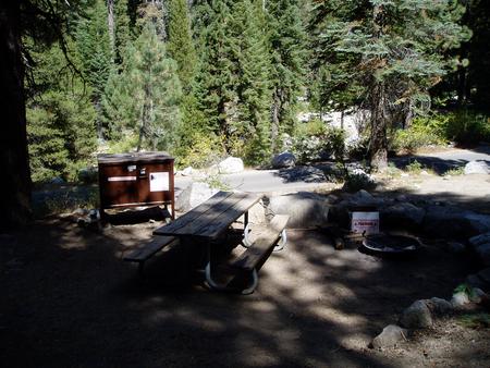
Reserve your campsite at these camping areas:
Hiking Trails
Looking for nice hiking areas to take a hike? Choose from these scenic hiking trails:
Related Link(s)
Eufaula National Wildlife Refuge
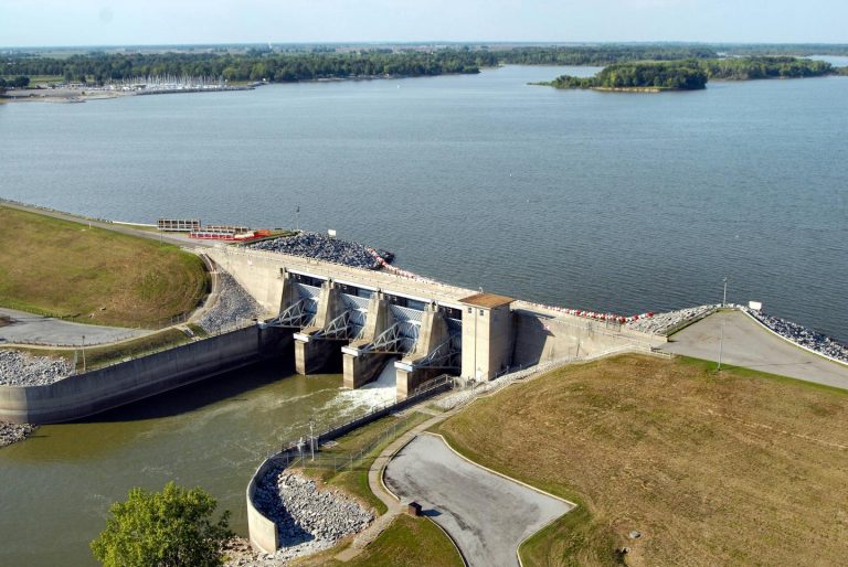
Eufaula National Wildlife Refuge was established in 1964, on the Walter F. George Reservoir (Lake Eufaula) in cooperation with the Corps of Engineers (COE). The reservoir resulted from impoundment of the Chattahoochee River between Alabama and Georgia. The Refuge, lying on the upper reaches of the reservoir, consists of 11,184 acres. There are 7,953 acres in Barbour and Russell Counties, Alabama, and 3,231 in Stewart and Quitman Counties, Georgia.