Directions
To reach the refuge office/visitor center from Waupun, go 7 miles east on State Highway 49 and 3.5 miles south on County Road Z. From Milwaukee, take 41 north to the Brownsville exit, go west on Highway 49 and 3.5 miles south on County Road Z. From Madison, take 151 north to Highway 49, go east to County Road Z, go south 3.5 miles. From Fond du Lac, take 151 south to Highway 49, go east to County Z, go south 3.5 miles. We strongly suggest that you consult an atlas or Dodge County map when using these directions.
Phone
920-387-2658
Activities
AUTO TOURING, BIKING, INTERPRETIVE PROGRAMS, FISHING, HIKING, HUNTING, WINTER SPORTS, VISITOR CENTER, WILDLIFE VIEWING, ENVIRONMENTAL EDUCATION, PHOTOGRAPHY
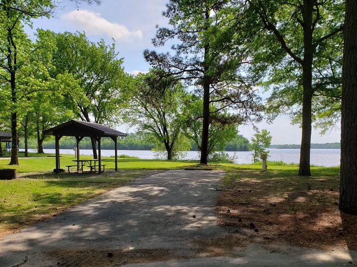
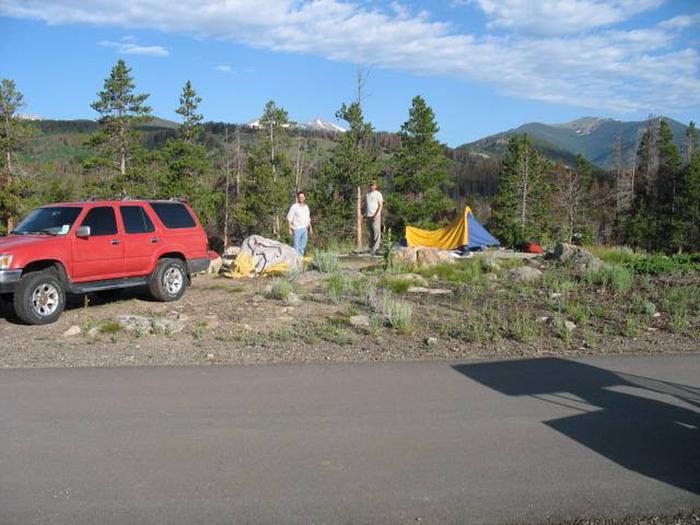
Camping Reservations
Reserve your campsite at these camping areas:
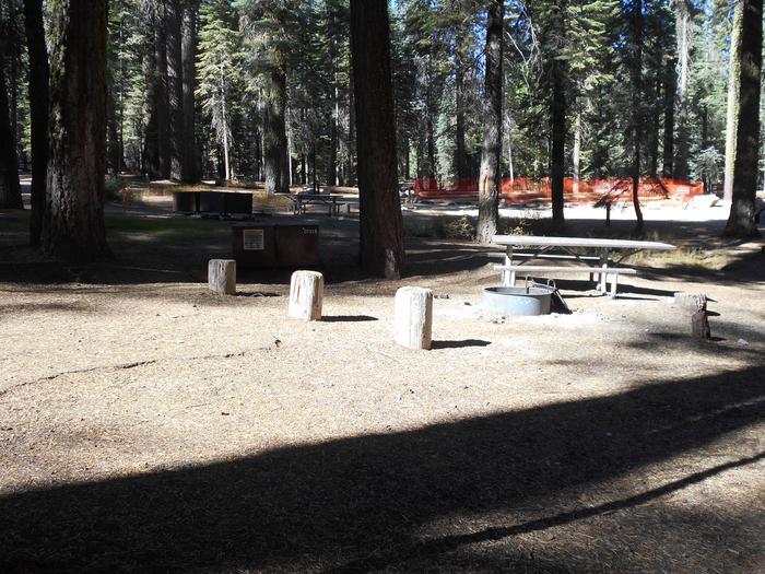
Hiking Trails
Looking for nice hiking areas to take a hike? Choose from these scenic hiking trails:
Related Link(s)
More Wisconsin Recreation Areas
horicon National Wildlife Refuge
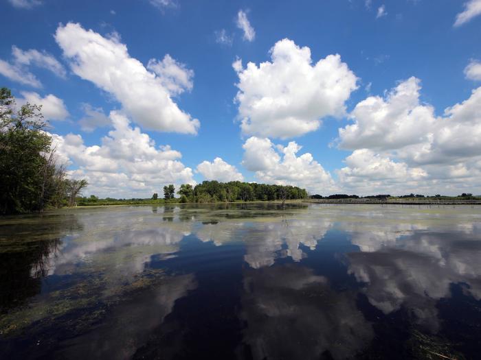
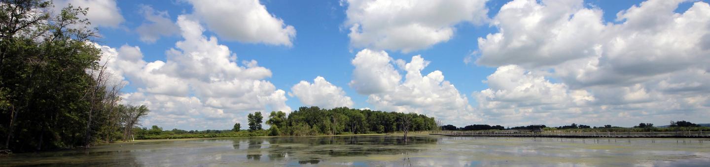
Over 21,000 acres in size, Horicon National Wildlife Refuge is located on the west branch of the Rock River in southeastern Wisconsin and encompasses the northern two-thirds of Horicon Marsh. Horicon Marsh is a shallow, peat-filled lakebed gouged out by the Wisconsin Glacier about 12,000 thousand years ago. The headwaters of the Rock River, Horicon Marsh is 14 miles long and three-to-five miles wide. Branches of the Rock River, small and intermittent streams, and groundwater springs provide the water resources for the marsh. At 32,000 acres in size, it is the largest freshwater cattail marsh in the United States. In 1990, Horicon Marsh was designated a “Wetland of International Importance” by the Ramsar Convention. It has also been designated as a “Globally Important Bird Area” by the American Bird Conservancy and a unit of the Ice Age National Scientific Reserve.