Activities
AUTO TOURING, BOATING, CAMPING, FISHING, HIKING, HORSEBACK RIDING, PICNICKING, RECREATIONAL VEHICLES, VISITOR CENTER, WILDLIFE VIEWING, SWIMMING, HORSE CAMPING
Camping Reservations
Reserve your campsite at these camping areas:
Hiking Trails
Looking for nice hiking areas to take a hike? Choose from these scenic hiking trails:
Related Link(s)

Most of the recreation areas in the Osceola National Forest are clustered close to the southern and western edges of the forest, especially around Ocean Pond, a favorite destination for many. With its many wilderness areas and dense interior swamps, the Osceola is a prime location for nature study.
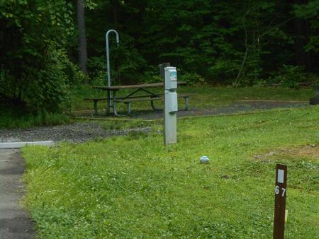
Dispersed Camping: Many enjoy the solitude and primitive experience of dispersed camping – camping away from developed campgrounds and other campers. However, no services and little to no facilities are provided. Additional responsibilities and skills may be necessary for a successful trip, and it is your responsibility to know your limits and abilities before you try this experience. Camping rules and regulations apply; they make your experience safe and they keep Forest settings scenic and unspoiled for fellow campers.
Want to see a full-screen interactive map of the Osceola? Click here.
The new Interactive Visitor Map is a work in progress. We will continue to update it with additional information as it becomes available. The map currently includes information for most National Forest recreation sites and roads.
Pets: Dogs are welcome on the forest, but are required to be on a leash at all times. Dogs are not allowed on the beach at swimming areas.


