
Directions
From Highway 550, approximately 18 miles north of San Ysidro, turn west on County Road 279. At 8.5 miles, County Road 279 turns to dirt as it passes through the village of San Luis. At approximately 22.5 miles from Highway 550, turn southwest on BLM road 1103, which begins to climb up onto the mesa. A gate is located just below the top of the mesa. This gate is locked during wet times of year. Park at the gate or just beyond the gate at the top of the mesa and hike southeast into the WSA.
Phone
505-761-8700
Activities
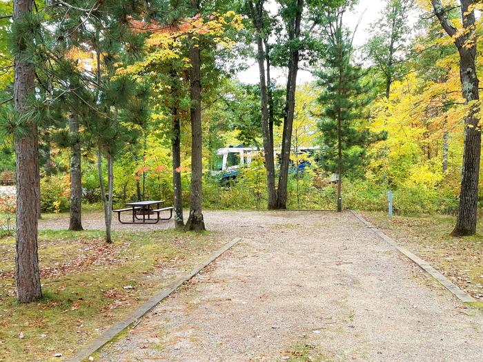
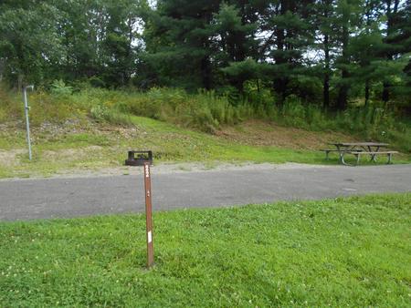
HIKING, WILDLIFE VIEWING
Camping Reservations
Reserve your campsite at these camping areas:
Hiking Trails
Looking for nice hiking areas to take a hike? Choose from these scenic hiking trails:
Related Link(s)
More New Mexico Recreation Areas
BLM New Mexico YouTube Channel
BLM New Mexico YouTube Channel
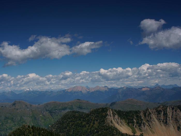
The northern portion of this WSA is arid, while the southern portion consists of a higher plateau dominated by piÑon and ponderosa pines. The diversity of vegetation and landforms provide scenic appeal. Large numbers of elk use the area, as well as coyotes, mule deer, and Merriam’s turkey.