Directions
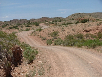
From US 70, 3.5 miles northwest of Lordsburg, NM, turn north on NM 464. Travel just over 14 miles on 464 and turn west on a bladed county road/Fuller Road. From this road, there are three access points turning north at 3.5, 5, and 8 miles from the road. At 3.5 miles on Fuller Road, turn north onto Nichols Canyon Road and drive about 3.6 miles and veer right to continue on Nichols Canyon Road another 1Ñ• miles. Hike to the southwest; the WSA is past the gaging station. The other two access points end at trails that can be hiked to the river.
Phone
575-525-4300
Activities
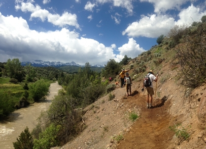
HIKING, WILDLIFE VIEWING
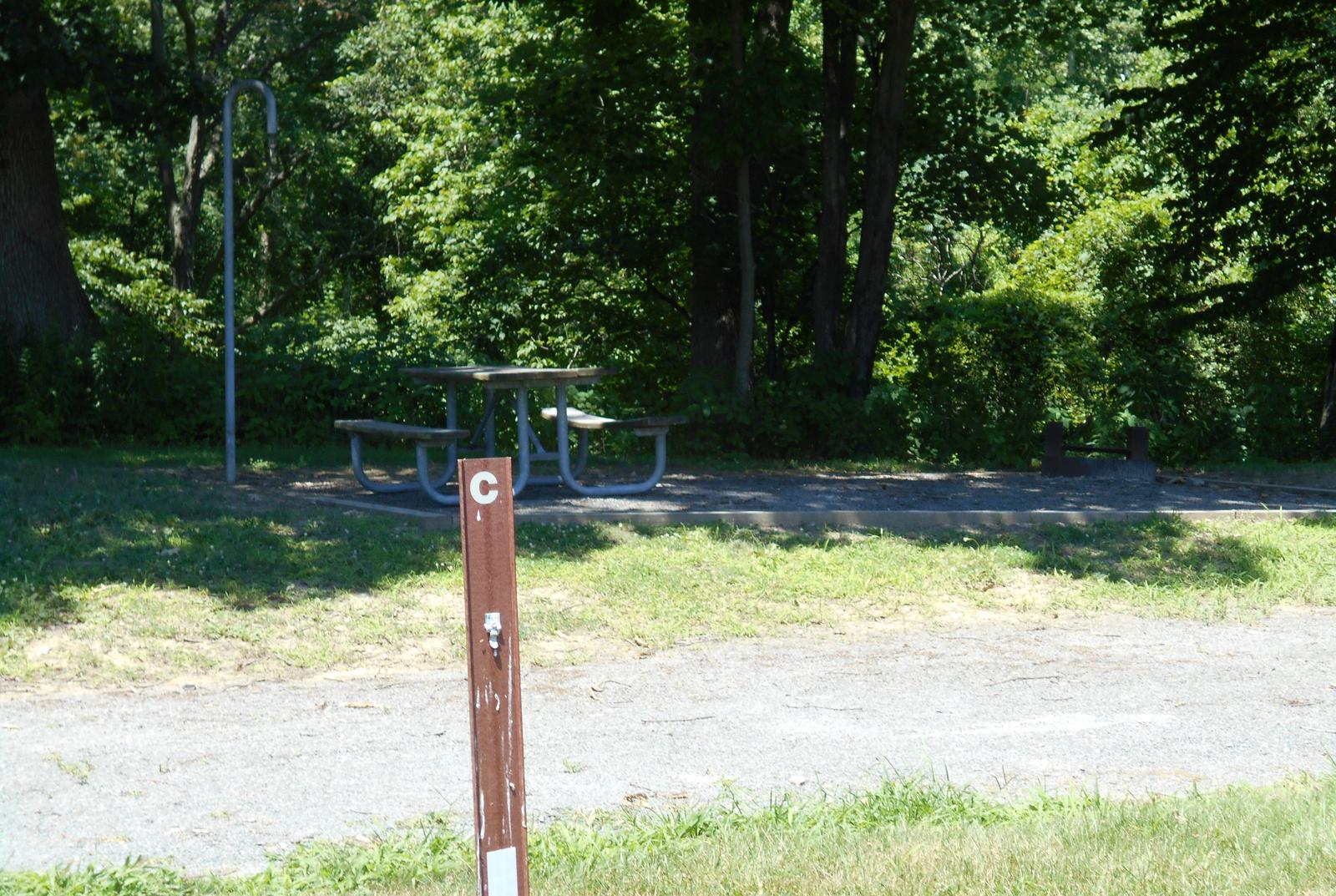
Camping Reservations
Reserve your campsite at these camping areas:
Hiking Trails
Looking for nice hiking areas to take a hike? Choose from these scenic hiking trails:
Related Link(s)
More New Mexico Recreation Areas
BLM New Mexico YouTube Channel
BLM New Mexico YouTube Channel
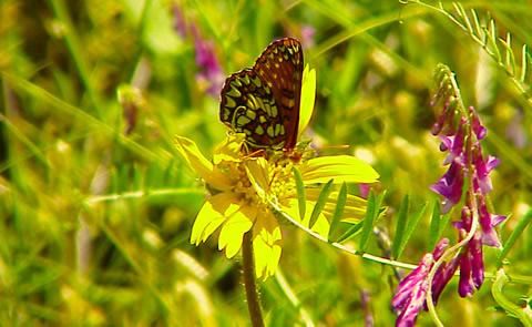
An oasis in the desert, the Gila Lower Box WSA is located in southwestern New Mexico about 20 miles northwest of Lordsburg. The Gila River has cut a five mile-long steep-walled canyon 600 feet deep in some areas, creating the “Lower Box.” The pristine canyon is heavily vegetated with riparian species such as ash, cottonwood, Arizona sycamore, and willow. The Lower Box has very high biological diversity with 265 species of birds, 67 mammal species, 12 species of amphibians, and 54 reptile species recorded. This is one of the best bird watching areas in New Mexico. The area contains cultural features including petroglyphs and rock shelters.