
Directions
The WSA can be reached from the north by rugged cross country hiking or horseback riding through the Coronado National Forest. Access is unresolved, therefore, check with the Coronado National Forest for current access status regarding the Bunk Robinson WSA.
Phone
575-525-4300
Activities
HIKING, WILDLIFE VIEWING
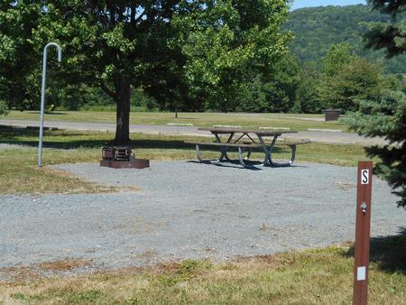
Camping Reservations
Reserve your campsite at these camping areas:
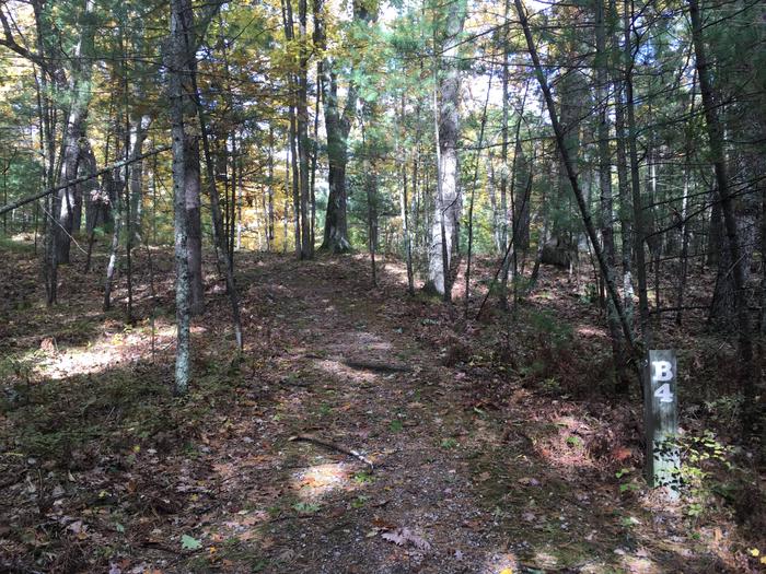
Hiking Trails
Looking for nice hiking areas to take a hike? Choose from these scenic hiking trails:
Related Link(s)
More New Mexico Recreation Areas
BLM New Mexico YouTube Channel
BLM New Mexico YouTube Channel
The Guadalupe Canyon WSA is located in the southwestern part of New Mexico about 30 miles east of Douglass, AZ. This WSA is managed in conjunction with the contiguous Bunk Robinson WSA (managed by the U.S. Forest Service) and Baker Canyon WSA (BLM-Arizona). Vegetation is Madrean Encinal woodlands dominated by open stands of oaks and perennial grasses. Sycamores grow in the riparian areas and Chihuahuan pine on the higher north facing slopes. The WSA is located within the northern limits of the range of many plants and animals, and consequently, this region is the only place where some species can be found in the United States. The area is renowned for bird watching. The WSA is extremely remote and difficult to access.